



Meteorologist Tony Nargi's First Warning Forecast
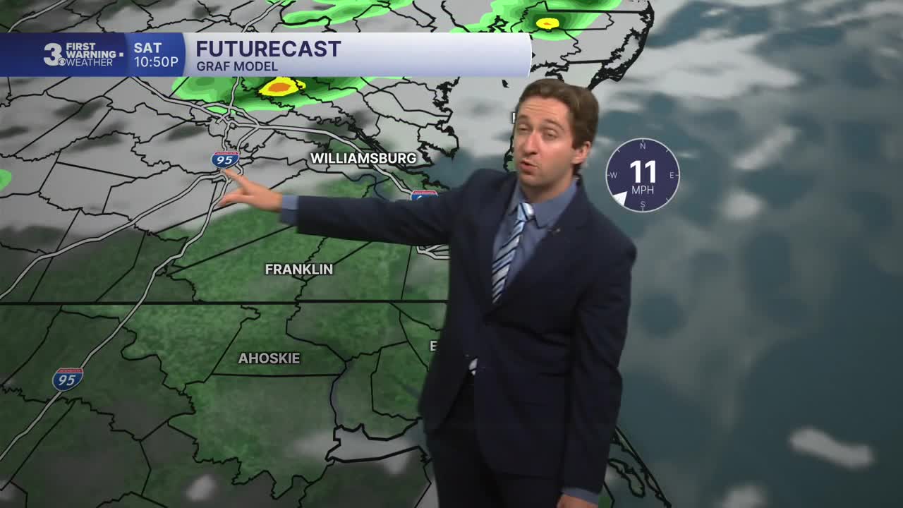
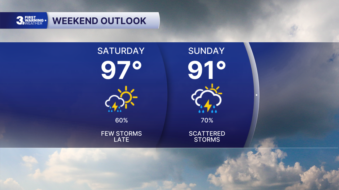
Today will start off with foggy and humid conditions, with temperatures in the upper 70s quickly jumping into the 90s by late morning. Air quality improves by midday, with good air quality returning. We'll see mostly sunny skies with high temperatures in the upper 90s, along with heat indices reaching the mid 100s this afternoon. A few isolated storms are possible late this afternoon/evening with the potential for severe wind gusts and localized flooding. Overnight occasional showers and storms are possible with lows in the upper 70s.
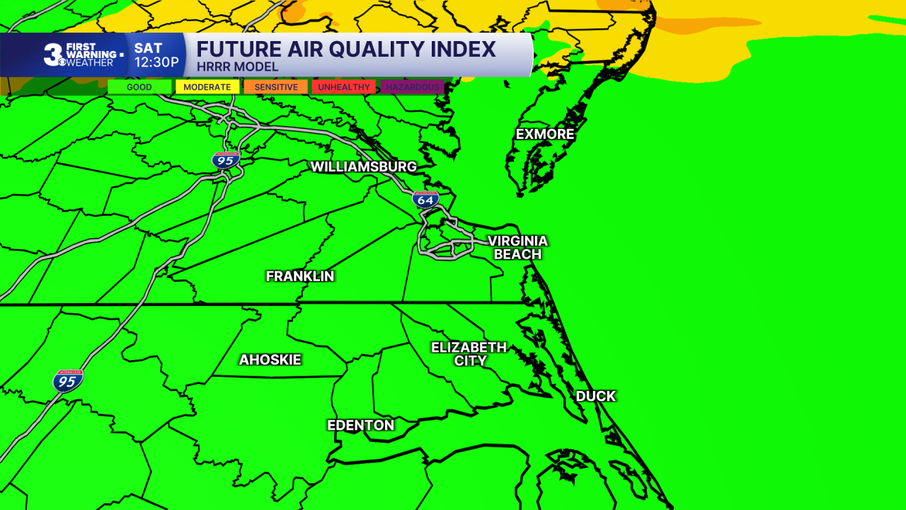

Tomorrow will start out cloudy and humid. Air quality is expected to be good on Sunday. We'll see widespread showers and storms during the afternoon, with another chance of some severe storms. between 1 PM and 7 PM. High temperatures will reach the low 90s, with winds out of the N at 10-15 mph. Overnight skies will partially clear, with lows in the 70s.
Cloudy skies are expected Monday morning with partly cloudy skies emerging by the afternoon. A few showers are possible during the afternoon as well. High temperatures will be cooler in the mid 80s. On Tuesday we'll see temperatures return to the 90s along with another chance of afternoon showers and storms.

Wednesday is a day to keep an eye out for this week, with the potential for some widespread severe storms. After Wednesday drier weather will move back into the picture.

TROPICS: A string of thunderstorms are trying to organize off the west coast of Florida this morning. There is a 30% chance of this area developing into a tropical cyclone over the next two days, we'll monitor this potential system throughout the day.

Weather updates on social media:
