

Derrah Getter's First Warning Forecast
Temperatures will struggle to reach above freezing Wednesday. A stalled-out front will bring a low chance of a few spotty snow showers this evening mainly along the Eastern Shore. Most other locations will remain dry and partly cloudy.
Bright and sunny conditions return Thursday, but temperatures will struggle to reach above freezing over the next few days. Highs gradually get cooler and by Saturday we’ll only be in the upper 20s.

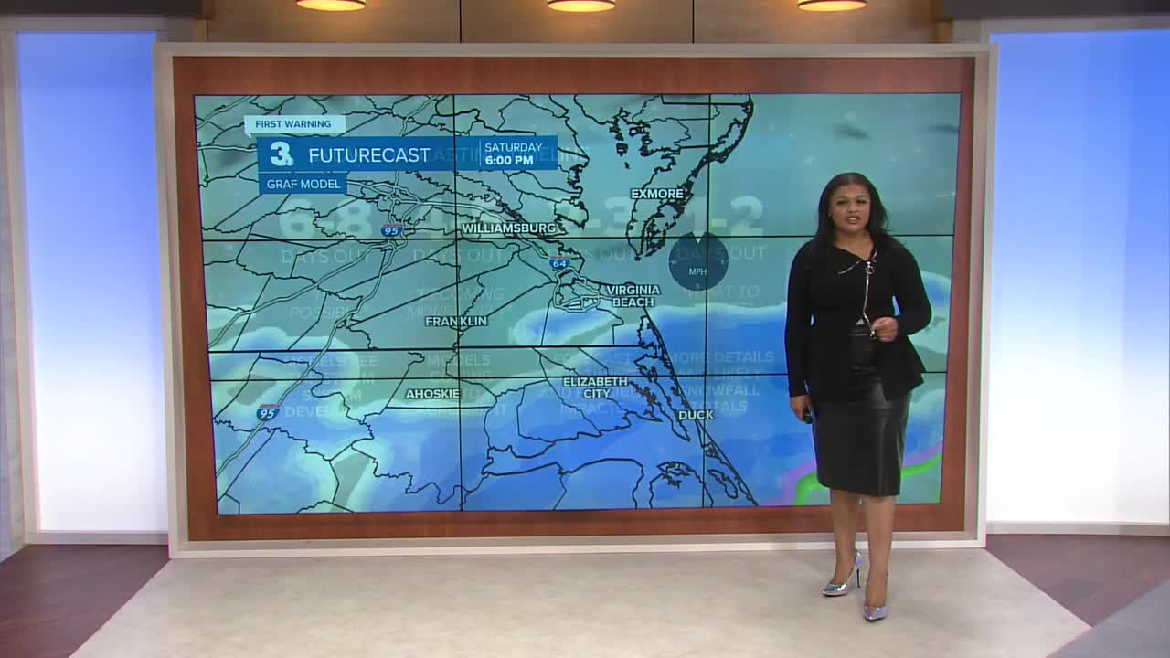
This weekend we’re tracking widespread snow showers. As for specifics, it is too soon to say for certain exactly how much, but there’s a decent chance we’re going to see at least three inches. Snow showers start Saturday morning and last through Sunday morning. Gusty winds could lead to reduced visibility due to blowing snow.

In addition to the snow, there will be tidal flooding with the approaching full moon cycle.
Temperatures finally reach above freezing early next week, which will help us start to thaw out.

Let's connect on social media!
Forecaster Derrah Getter:
For weather updates on Facebook: HERE
For weather updates on X: HERE
Follow me on Instagram: HERE
Check out the Interactive Radar on WTKR.com: Interactive Radar
