


Derrah Getter's First Warning Forecast
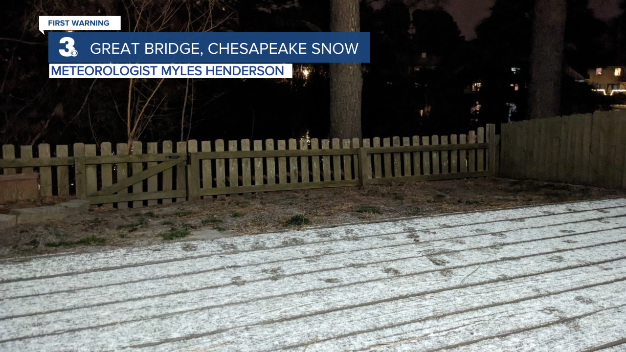
The snow is moving in this evening. We love seeing your pics! Feel free to share them at pics@wtkr.com. Here are a couple of pictures we've received from viewers and News 3 employees:
Weekday morning Meteorologist Myles Henderson captured this shot in Chesapeake.
Chief Meteorologist David Aldrich captured this photo right outside of our studios in Norfolk.

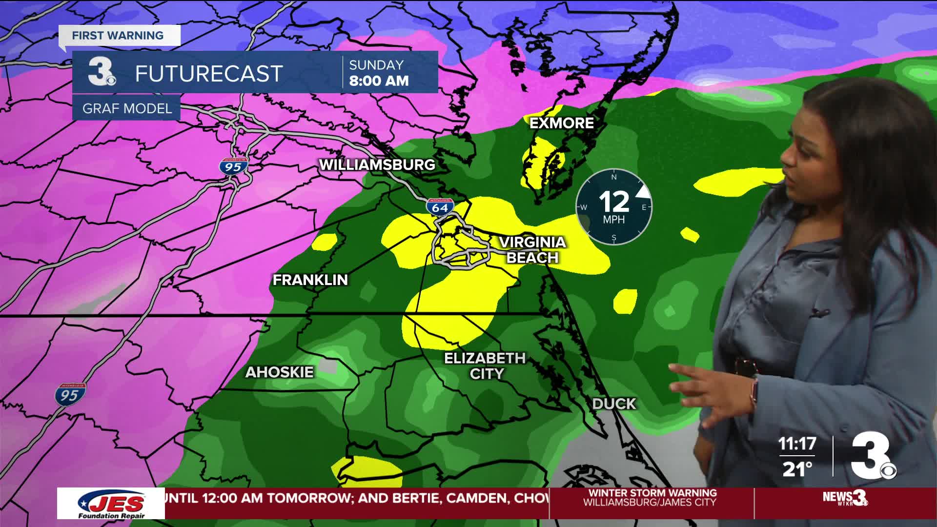
This evening, snow showers build in from west to east. Highest snowfall totals are expected for the Peninsulas and inland VA. Very little snow is expected across Southside and the Albemarle, which will be the first areas to see the transition to rain. The Peninsulas and inland VA will be the last to switch over, leading to some ice concerns. Freezing rain leading to ice will be more likely the closer to Richmond you are.

Temperatures rise Sunday morning and by the afternoon all areas will see moderate to heavy rainfall, helping to wash some of the ice and melting snow away. We dip below freezing again Monday morning, so a refreeze will be an issue for the commute.

Sunday will be the warmest day of the week with highs in the mid 40s. Temperatures for the rest of the week will be in the 20s and 30s with lows in the teens and 20s.

Let's connect on social media!
Forecaster Derrah Getter:
For weather updates on Facebook: HERE
For weather updates on X: HERE
Follow me on Instagram: HERE
Check out the Interactive Radar on WTKR.com: Interactive Radar
