

Derrah Getter's First Warning Forecast
The gloomy conditions stick around through the start of the upcoming weekend.
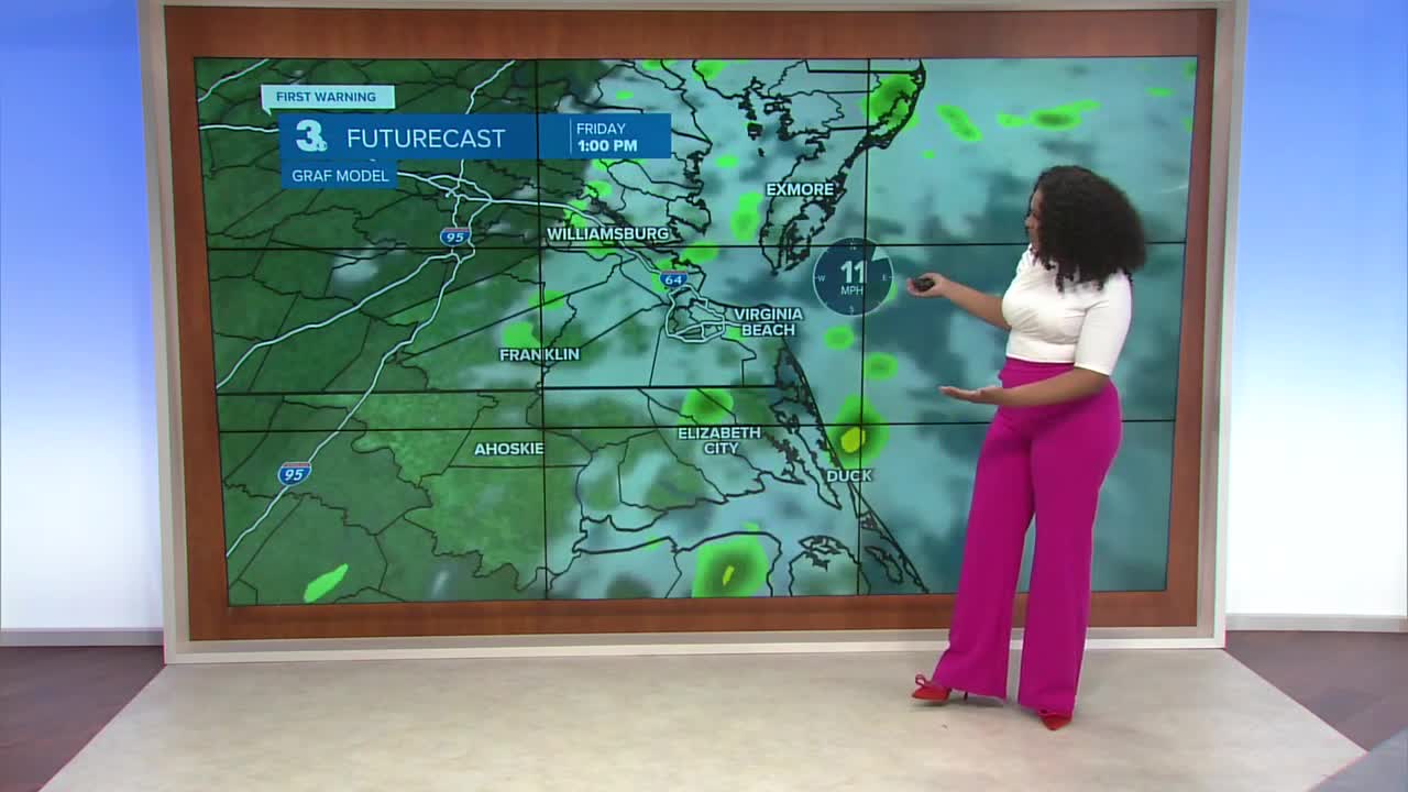
This evening, mostly cloudy skies keep temperatures in the low 70s. Scattered showers continue to spread from west to east and linger into early Thursday morning.

Thursday will be another mostly cloudy day with highs in the low 80s. After the leftover showers in the morning a few spotty showers persist in the afternoon.

Scattered showers linger through Saturday. Drier conditions return Sunday as highs climb back into the mid 80s by the start of next week.

Tracking the Tropics: Atlantic Hurricane Season Update
We have three areas that we're watching:
The first area is a low pressure system off the Atlantic coast. Conditions are becoming progressively less favorable for tropical development and the system is moving away from the coast. It is however leading to rough surf.
Formation chance through 48 hours...low...0%
Formation chance through 7 days...medium...30%
The second area is a tropical wave over the eastern Atlantic. Gradual development will be possible over the next couple of days and a tropical depression could form late next week.
Formation chance through 48 hours...low...30%
Formation chance through 7 days...medium...60%
Tropical storm Dexter has encountered some weakening mechanisms but it is still holding together with max sustained winds at 50 mph. It is expected to continue moving away from the continental U.S.

Let's connect on social media!
Forecaster Derrah Getter:
For weather updates on Facebook: HERE
For weather updates on X: HERE
Follow me on Instagram: HERE
Check out the Interactive Radar on WTKR.com: Interactive Radar
