

Derrah Getter's First Warning Forecast
Clouds and fog linger this evening. Shower chances remain overnight with lows in the 40s.
February 19 marks the 1-year anniversary of the record breaking snow event of 2025! Take a look at the stats:

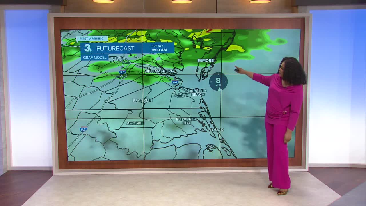
Slightly milder conditions return Friday with highs once again approaching 70. We’ll see a few showers mid to late morning and into the first part of the afternoon, but skies briefly clear by the end of the day.
This weekend will be mostly cloudy. Shower chances mainly favor North Carolina on Saturday with more widespread rain arriving on Sunday. Highs will be in the 40s and 50s.

We will finally dry out next week. Highs to start the week will be below normal in the 40s, but we’ll rebound back to the 50s by Wednesday.

Let's connect on social media!
Forecaster Derrah Getter:
For weather updates on Facebook: HERE
For weather updates on X: HERE
Follow me on Instagram: HERE
Check out the Interactive Radar on WTKR.com: Interactive Radar
