

Meteorologist Tony Nargi's First Warning Forecast
This evening temperature will drop into the 40s and low 50s with clear skies expected through midnight. Winds will drop from 10-15 mph out of the N down to 4-8 mph. Clouds will start to increase after midnight with overnight low dropping into the mid to upper 40s.

Tomorrow will start off with a mix of sun and clouds, followed by mostly cloudy skies during the afternoon. Some peaks of sunshine are possible, but clear skies are unlikely. Winds will be light tomorrow, out of the NE at 5-10 mph. High temperatures will reach the upper 50s to around 60. Overnight overcast skies will move in, with low temperatures falling into the upper 40s.

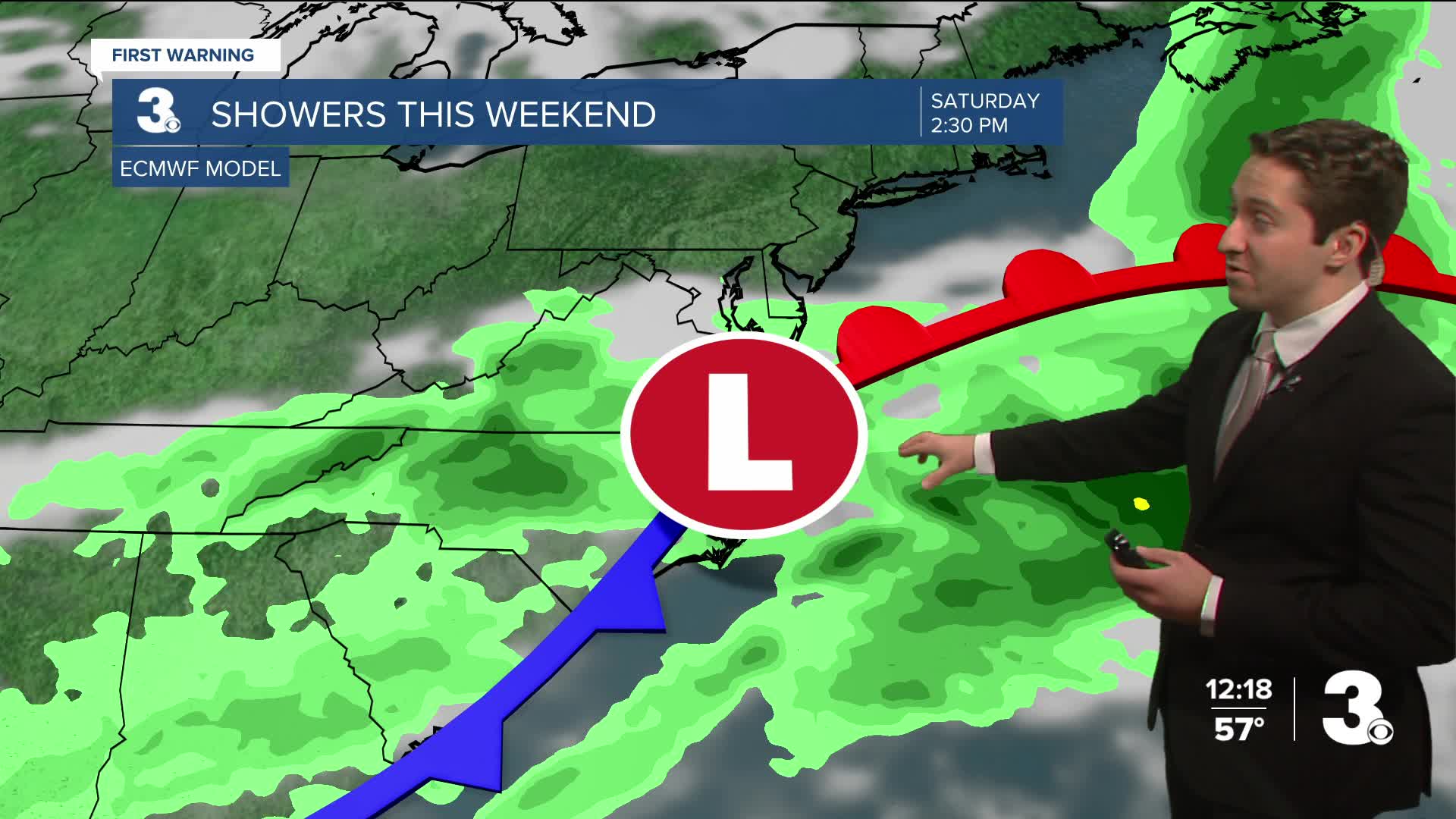
Friday will start off with cloudy skies, with occasional showers expected during the afternoon. High temperatures will reach the low to mid 60s, with winds out of the S at 5-10 mph. Occasional showers will continue overnight and into Saturday. Temperatures only drop into the 50s Friday night. On Saturday highs will reach the mid to upper 60s, with winds out of the S at 5-10 mph, turning out of the N at 10-15 mph during the afternoon. Showers will linger through the early afternoon on Saturday, with drier weather moving in after sunset (4:50 pm). The weather looks to be good for the Grand Illumination Parade, with clouds starting to clear out by the start of the parade.

Next week looks very nice to start! Highs will be near normal with lots of sunshine. Our next chance of rain looks to be Wednesday.

Weather updates on social media:
