

Meteorologist Tony Nargi's First Warning Forecast
This evening the temperature will drop into the upper 40s and low 50s with overcast skies expected after sunset. Overnight lows will drop into the 40s with winds out of the S at 5-10 mph. Some spotty showers are possible after midnight, particularly over the northern sections of our area.

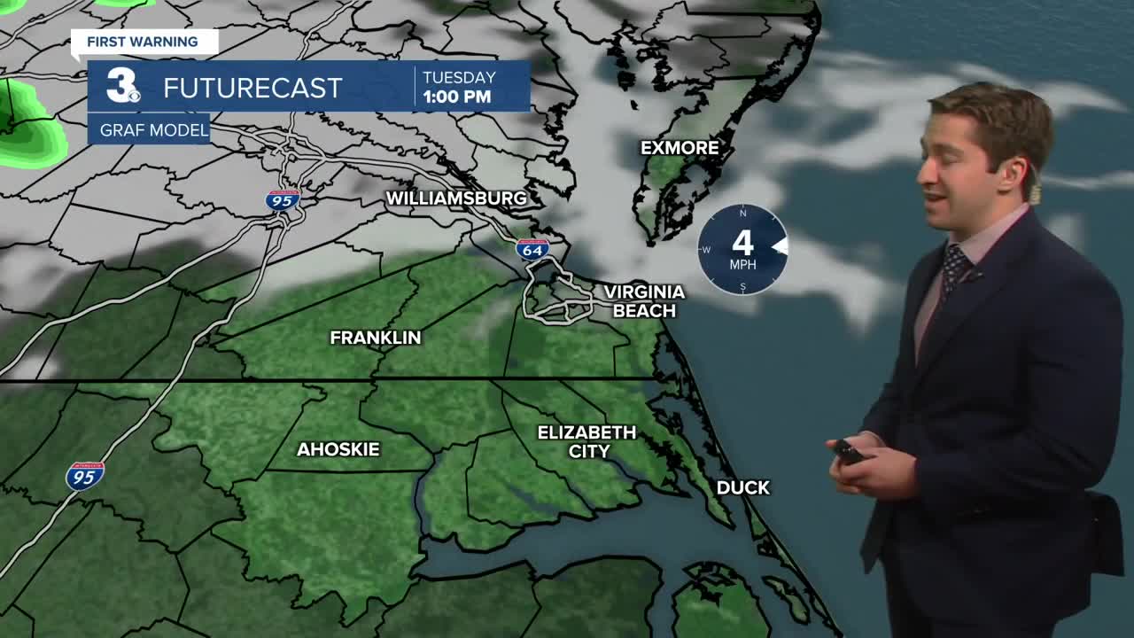
Tomorrow morning some early showers are possible between 4 am and 8 am as a weak low-pressure system slides to our south. Rainfall amounts will be minimal, between a trace and a quarter inch of rain. Rain ends by mid morning and skies should clear by lunchtime. Highs will be near normal in the low 60s with winds out of the NE at 10-15 mph. Overnight some clouds will move back in, with a mix of sun and clouds expected by Thursday morning.

A stray shower or sprinkle is possible Thursday, with partly to mostly cloudy skies expected. High temperatures will be around 60. Winds will be out of the NE at 5-10 mph. On Friday we'll see dry conditions to start, with some spotty showers possible during the afternoon. Highs will jump into the upper 60s, with winds out of the S at 5-15 mph.

This weekend, an elongated area of low pressure will bring clouds and showers to Hampton Roads beginning Saturday morning. Some occasional thunderstorms will be possible as well. Rain should clear out by the evening, with dry weather likely by the Grand Illumination Parade.

Weather updates on social media:
