

Meteorologist Tony Nargi's First Warning Forecast
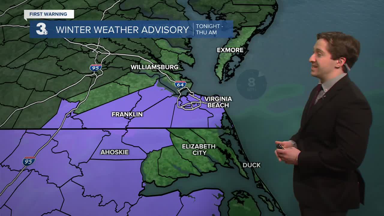
This evening temperatures will continue to drop as they have all afternoon. We'll see showers continue for the Albemarle and Outer Banks, with a rain/snow mix beginning after 7 pm for interior locations in North Carolina and southern portions of Virginia. Light rain/snow mix will slowly change over to all snow after 10 pm from north to south. We'll Light snow showers wrap up before sunrise with low temperatures reaching the 20s to mid 30s for most.


Tomorrow some lingering rain/snow showers are possible on the Outer Banks, with mainly dry and cloudy conditions to start everywhere else. Some patchy AM fog is possible, especially for coastal areas. We'll see clearing throughout the day with cool and breezy conditions. Highs will be in the 30s with winds out of the N at 10-20 mph. Temps will fall into the 20s overnight with clear skies expected.

Friday will be mostly sunny to start with clouds building during the afternoon. Highs will be in the mid 30s to low 40s. We'll see a cold front move through during the afternoon, bringing some breezy conditions after lunchtime along with some flurries possible overnight. Saturday will start with temperatures in the upper 20s to mid 30s, with dropping temperatures during the afternoon as a second cold front moves across the region. Frigid wind chills are expected by Saturday afternoon, with feels like temperatures in the single digits. If you're planning on doing the Polar Plunge at the Oceanfront on Saturday at 1 PM, be prepared for some frigid conditions!

Warmer temperatures move into the fray by the middle of next week, with a well deserved temperature jump into the 50s by Wednesday.

Weather updates on social media:
