

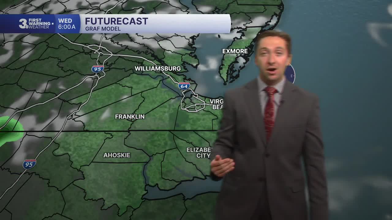


Meteorologist Tony Nargi's First Warning Forecast
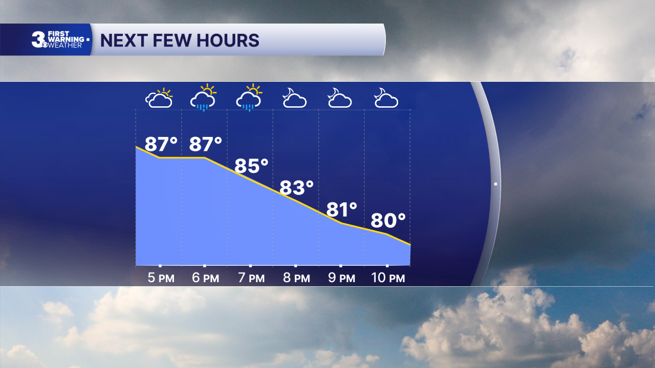
This evening, any storms still in the area will clear out by 8 PM, with mostly clear skies expected overnight. Lows will only drop into the low to mid 70s.
Tomorrow will be slightly less humid, with mostly sunny skies expected throughout the day and just a 20% chance of a stray afternoon shower. High temperatures will reach the upper 80s. Winds will be light out of the N at 5-10 mph. Overnight Wednesday, skies will clear out and temperatures will drop off into the low 70s with dry conditions expected.

Thursday will bring a surge in heat and humidity, with high temperatures reaching the mid 90s and heat indices reaching the mid 100s. We'll see dry conditions in the morning, with storms developing in the afternoon. There is a 60% chance of rain, and isolated severe storms will be possible during the late afternoon and evening. Rainy conditions will carry over into Friday, with showers and storms expected throughout the day. High temperatures will only reach the mid 80s, however it will still be quite humid.

On Saturday, showers and leftover storms will linger through the middle of the day, with partial clearing expected by the afternoon. Drier conditions will arrive Sunday, with just a 30% chance of a stray storm. Humidity looks to calm down on Monday next week, with dew points dropping below 70.

Weather updates on social media:
