

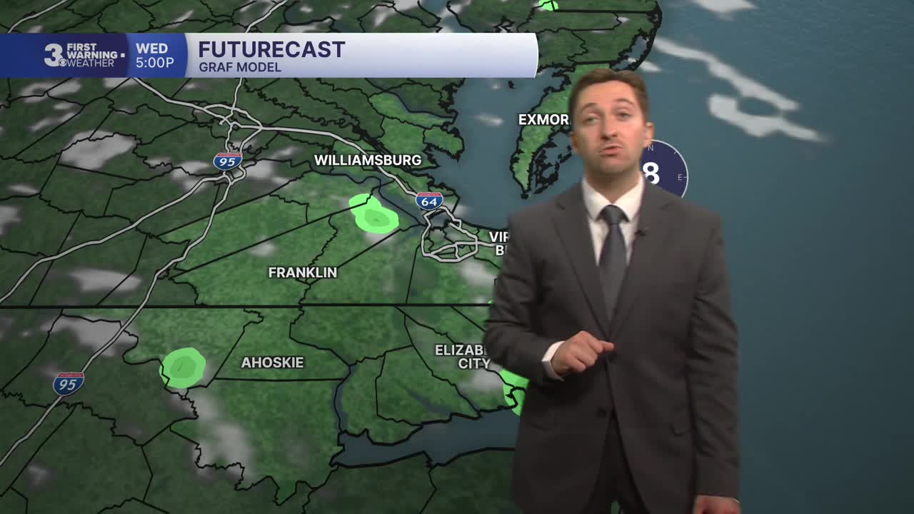


Meteorologist Tony Nargi's First Warning Forecast
Severe storms this evening will really ramp up after 8 PM, but they will be quick moving and should clear out by midnight. Stay weather aware and make sure you have a way to receive updates. After midnight clouds clear out and lows drop into the low 70s.

Tomorrow will be a great day, with mostly sunny skies expected. Some wildfire smoke will linger in the sky, with hazy conditions likely. No air quality concerns are expected as the smoke will stay high above the ground. High temperatures tomorrow will reach the mid to upper 80s, with lower humidity levels expected. A stray afternoon shower or sprinkle is possible, but just a 10% chance of rain. Winds will be light out of the NW at 5-10 mph. Overnight we'll see mostly clear skies and lows in the 60s and low 70s.

Thursday will be another beautiful day, with highs in the mid 80s. We'll see mostly sunny skies and light winds out of the N at 5-10 mph. Friday will be another mostly sunny day, with high temperatures staying in the mid 80s. Winds will be out of the NE at 5-10 mph Friday, so rip currents may be possible at the beach.

This weekend looks nice, with partly cloudy skies expected on Saturday. High temperatures will reach the upper 80s, with heat indices expected in the mid 90s. A stray shower or storm is possible during the afternoon, with a 20% chance of rain expected. A few isolated storms will be possible Sunday afternoon, but only a 30% chance of rain is expected.

Weather updates on social media:
