

Meteorologist Tony Nargi's First Warning Forecast
This evening will be cooler with temperatures dropping into the low 60s and upper 50s as colder air continues to swing into the region. We'll see clear skies along with breezy conditions calming down overnight as winds out of the W drop from 10-20 mph to 5-10 mph by dawn. Overnight lows will be chilly, with temperatures in the 40s expected region wide.

Tomorrow will be a pleasant fall day, with high temperatures reaching the mid to upper 60s with winds out of the W at 10-15 mph. Plenty of sunshine is expected once again. Dew points will drop into the upper 30s, leading to a dry feel to the air. Dry conditions along with a bit of a breeze will lead to elevated fire danger. Boating conditions should be relatively good, with 2-3 foot waves on the Atlantic and 1-3 foot waves on the Chesapeake.

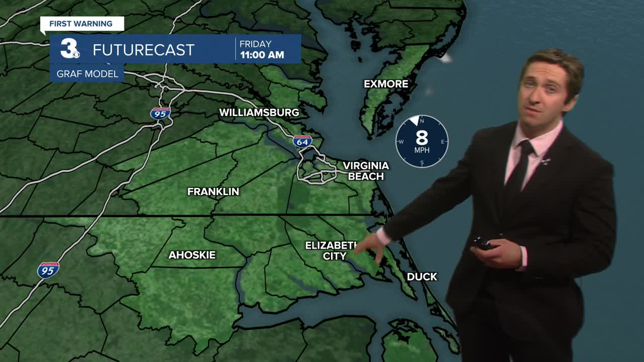
Friday will be even cooler, with many inland areas starting the morning off in the upper 30s with mid 40s closer to the coastline. Some patchy frost is possible in Sussex and Southampton counties in VA along with Northampton County in NC. Highs will reach the low to mid 60s by the afternoon. We'll see plenty of sunshine once again, with winds out of the WNW at 5-15 mph. Saturday will be another cool day with highs in the low to mid 60s along with mostly sunny skies.

Next week some cloud cover starts to return along with increased rain chances. It looks like we'll start off mainly dry Sunday, but rain chances look likely to increase by Monday and Tuesday as our nice calm stretch of weather comes to an end.

TRACKING THE TROPICS
Tropical Storm Melissa is forecast to become a hurricane by the weekend. It's currently moving at a crawl, just 2 mph. However, it is expected to become a major hurricane by Monday, and could eventually turn north out of the Caribbean and into the open Atlantic. We'll keep you updated on potential impacts here throughout the week.

Weather updates on social media:
