


Meteorologist Myles Henderson’s First Warning Forecast
Warming up for midweek. Tracking rain for Thursday and Friday. A nice weekend ahead.
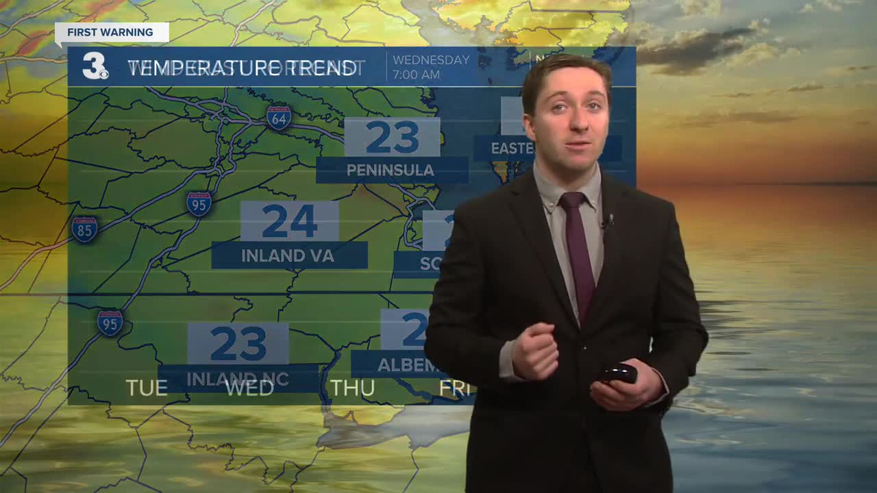
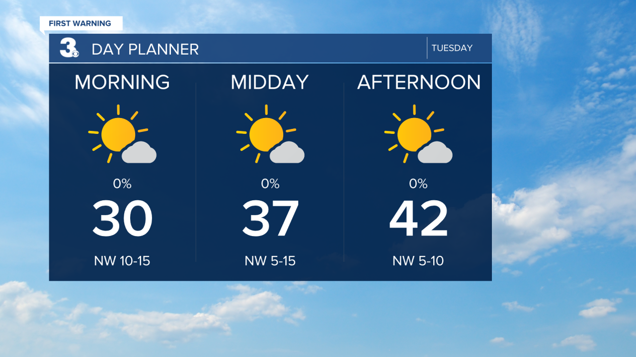
A return to sunshine today with highs in the low 40s, 10 to 15 degrees below normal for this time of year. It will still be chilly today but not as windy as yesterday. Clouds will build in tonight with lows in the mid 30s.
Warmer tomorrow with highs in the upper 50s. We will see a mix of partly to mostly cloudy skies with a stray shower possible. The wind will kick up again, SW at 10 to 20 mph.
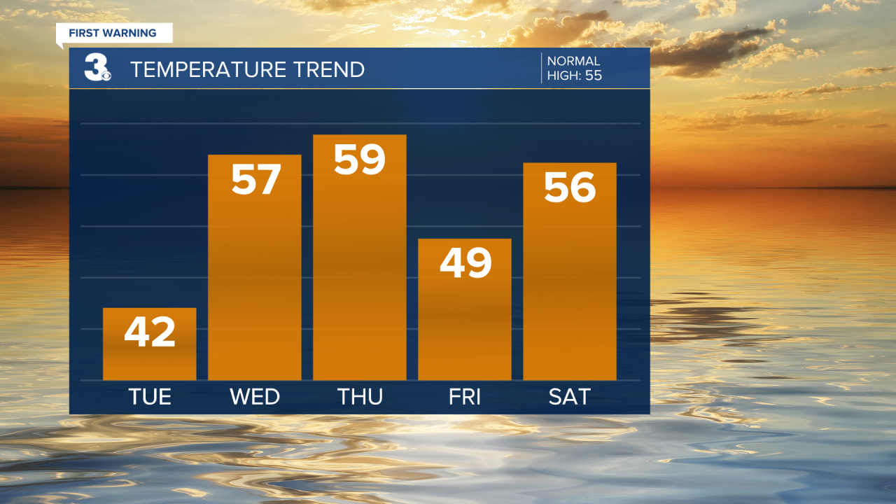
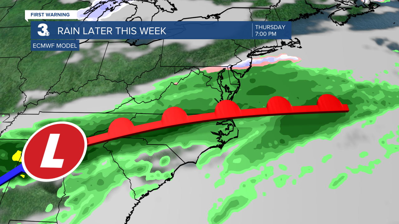
Rain returns for Thursday and Friday as an area of low-pressure slides across the Southeast. Highs will drop from the upper 50s on Thursday to the upper 40s on Friday.
The weekend looks nice, for the end of February. Expect partly cloudy skies with highs in the mid to upper 50s.
Today: Mostly Sunny. Highs in the low 40s. Winds: NW 5-15
Tonight: Partly Cloudy. Lows in the mid 30s. Winds: SW 5-15
Tomorrow: Mix of Clouds. Highs in the upper 50s. Winds: SW 10-20
Weather updates on social media:
Facebook: MylesHendersonWTKR
Instagram: @MylesHendersonWTKR
