


Meteorologist Myles Henderson’s First Warning Forecast
A nice end to the work week and weekend. Rain returns early next week.
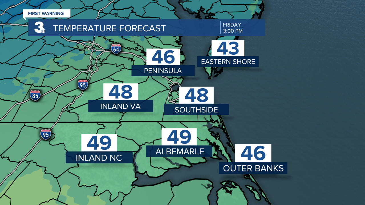
Highs will only reach the upper 40s this afternoon, a few degrees below normal for this time of year. Expect a nice mix of sun and clouds today with light winds.
The weekend looks nice! Expect lots of sunshine on Saturday with highs in the mid 50s. Clouds will build in on Sunday (partly cloud to mostly cloudy skies) with highs in the upper 50s.

Rain moves in overnight Sunday to early Monday morning. Expect rain for the first half of Monday, tapering off in the afternoon. Highs will remain in the mid 50s.

We will see several rounds of rain next week as a string of fronts linger over the Southeast and Mid-Atlantic. Showers are likely Monday morning, Tuesday afternoon, Wednesday, and Thursday.
Today: Mostly Sunny. Highs in the upper 40s. Winds: W 5-10
Tonight: Mainly Clear. Lows in the low 30s. Winds: SW 5-10
Tomorrow: Mostly Sunny. Highs in the mid 50s. Winds: SW 5-10
Weather updates on social media:
Facebook: MylesHendersonWTKR
Twitter: @MHendersonWTKR
Instagram: @MylesHendersonWTKR
