




Meteorologist Tony Nargi's First Warning Forecast
This evening will be comfortable with temperatures in the 70s and clear skies. Winds will completely calm down tonight, and some patchy fog is possible inland late tonight. Lows will drop into the 50s well inland and 60s closer to the coast.

Tomorrow will be another great day, with high temperatures in the upper 70s and light winds out of the NE at 5-10 mph. Sunny skies are expected, with low levels of humidity. Temperatures will drop into the 60s and 50s overnight, with light winds expected. Skies will stay clear overnight.
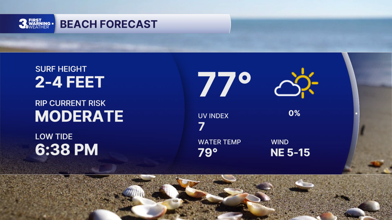
Thursday will be another nice day, with partly cloudy skies expected. High temperatures will be a step warmer, in the mid 80s. Winds will be out of the S at 5-10 mph. No rain is expected, and humidity levels should remain low. Friday will be another step warmer, in the upper 80s. We'll see partly cloudy skies in the morning followed by mostly cloudy skies in the afternoon. A few showers are possible during the late afternoon and evening as a cold front swings through. The chance of rain is 20%.

This weekend looks nice, with temperatures in the 80s and mainly dry with relatively low chances of any showers or storms. Monday and Tuesday next week will feature scattered showers and storms, with temperatures in the upper 80s.

TROPICS:

We're still tracking the area of interest over the Central Atlantic, which still has a 40% chance of development. This area could become a tropical depression as soon as Friday, however this area looks unlikely to impact the US. Stay tuned for updates.
Weather updates on social media:
