



Meteorologist Tony Nargi's First Warning Forecast
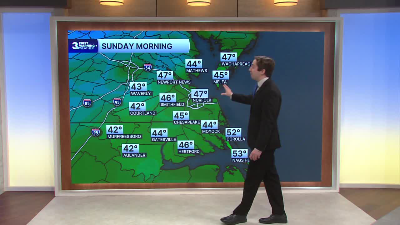
Today will start off cool, but high temperatures will be seasonable in the low to mid 60s. Winds will be lighter today out of the NW at 5-10 mph in the morning, turning SW at 5-10 mph in the afternoon. We'll see a few clouds in the morning followed by sunny skies throughout the afternoon. Overnight skies will be clear with low temperatures dropping into the 40s.

Tomorrow will be another sunny and seasonable day with high temperatures getting up into the mid to upper 60s. Winds on Monday will be out of the NW at 5-15 mph. Overnight lows will be normal as well, dropping into the 40s with dry conditions expected.

Tuesday will be a hair above normal, with high temperatures getting up into the upper 60s and low 70s. Skies will remain sunny, with winds out of the SW at 5-10 mph. On Wednesday some clouds return, with partly cloudy skies expected and high temperatures reaching the upper 60s to low 70s.

On Thursday a clipper system will swing through our north and begin to transition into a Nor'easter off the Jersey Shore. We'll see some showers on Thursday but right now most of the rain and strong winds will stay well to our north. The storm will pull away Friday and leave some cold air and breezy conditions in its wake, with high temperatures only reaching the low 50s by Saturday.

Weather updates on social media:
