


Meteorologist Myles Henderson’s First Warning Forecast
Sunny and cold again today. Warming to the 50s tomorrow. Tracking rain for Valentine’s Day weekend.
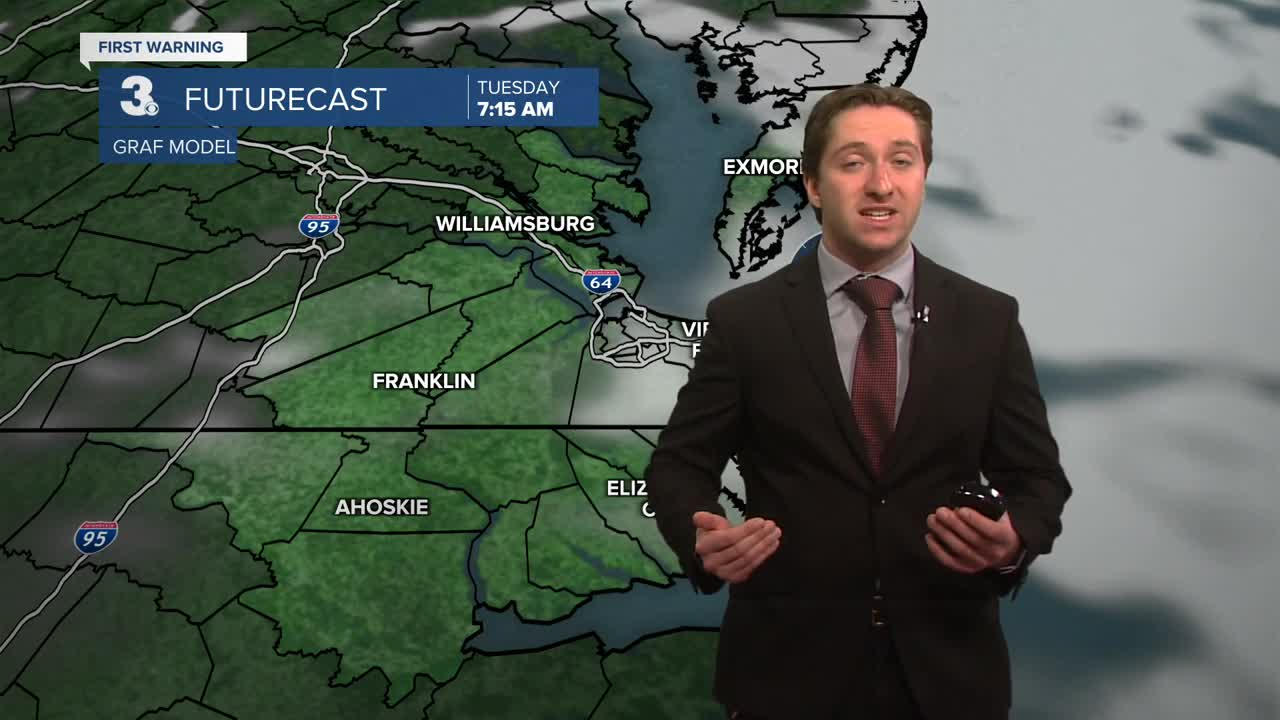
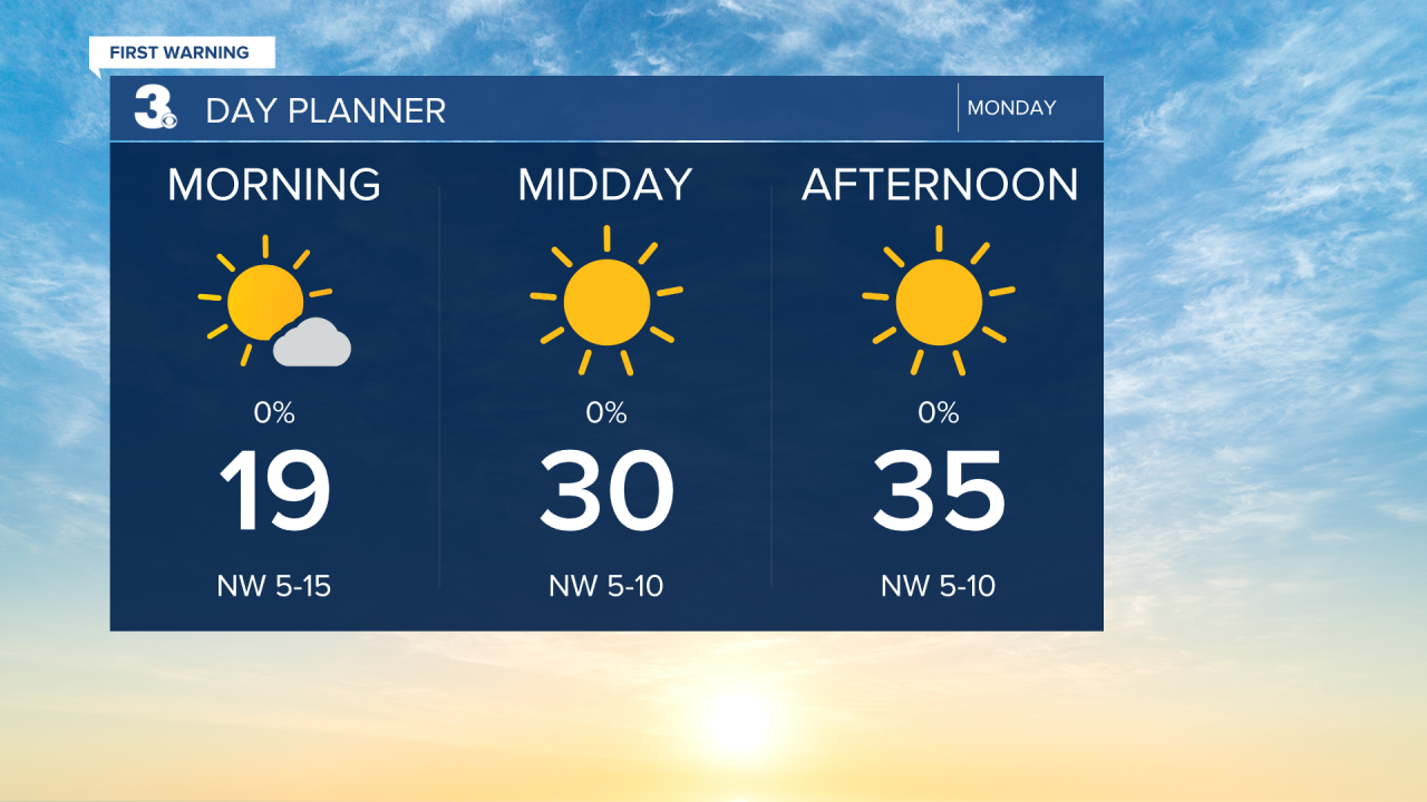
A frigid start with temperatures in the teens and 20s this morning. We will see lots of sunshine today with highs in the mid 30s. The wind will continue to back down today.
Get ready for a big step warmer tomorrow. Highs will jump to the mid 50s, above normal for the first time in over 2 weeks. We will see a nice mix of sun and clouds with light wind.
Highs will return to the 50s on Wednesday with partly cloudy skies. A few showers are possible, mainly in NC. We will cool back to the 40s to end the work week.

Tracking rain for the weekend. As of now, showers are set to move in Saturday night as an area of low-pressure tracks from the South to the Mid-Atlantic. Plan for a soggy and windy Sunday.

Today: Partly Cloudy. Highs in the low 40s. Winds: W 5-10
Tonight: Rain/Snow Showers. Lows in the mid 20s. Winds: W 5-15
Tomorrow: Cold & Windy. Highs in the mid 20s. Winds: NW 25-35 G50
Weather updates on social media:
Facebook: MylesHendersonWTKR
Instagram: @MylesHendersonWTKR
