


Meteorologist Myles Henderson’s First Warning Forecast
Sunny and cooler to end the work week. Warming back to the 50s this weekend. Another rain chance on Sunday.
Sunny, cooler, and breezy today. Highs will only reach the mid 40s today, cooler than yesterday and below normal for this time of year. We will see lots of sunshine with a NW wind at 10 to15 mph. Clouds will build in tonight with lows falling into the 20s.

Another sunny and cool today tomorrow with highs in the low 40s, but not as breezy.
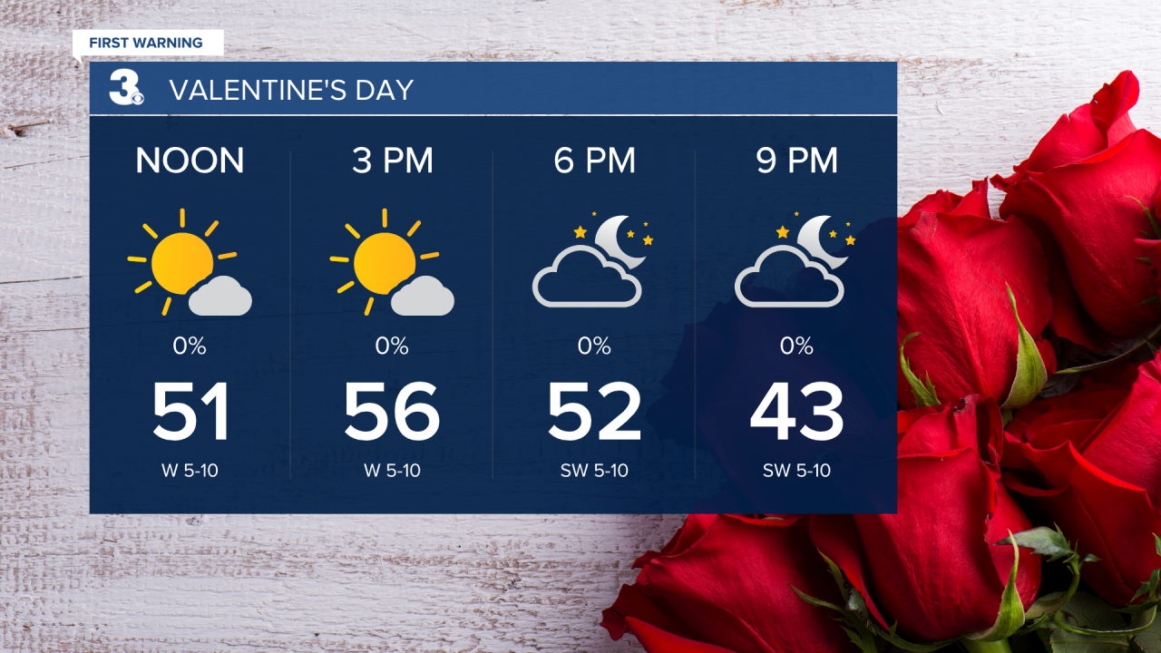
Saturday looks like the pick of the weekend. Expect mostly sunny skies with highs in the mid 50s.
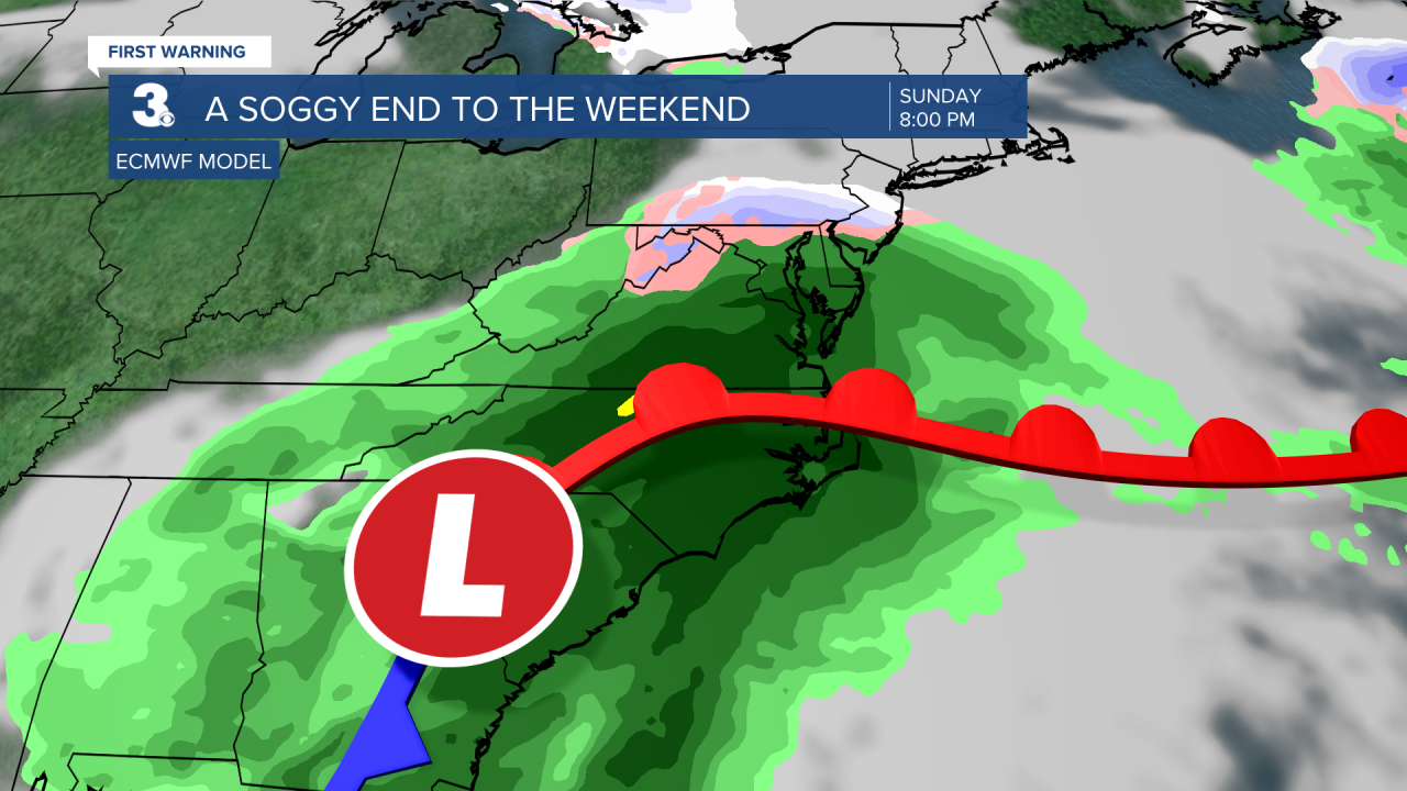
Rain will build in on Sunday as an area of low-pressure tracks across the Southeast. We could see 1”+ of rainfall on Sunday. Highs will reach the low 50s. Showers will move out Monday morning.
Today: Mostly Sunny. Highs in the mid 40s. Winds: NW 10-15
Tonight: Partly Cloudy. Lows in the upper 20s. Winds: N 5-10
Tomorrow: Mostly Sunny. Highs in the low 40s. Winds: NW 5-10
Weather updates on social media:
Facebook: MylesHendersonWTKR
Instagram: @MylesHendersonWTKR
