



Meteorologist Tony Nargi's First Warning Forecast
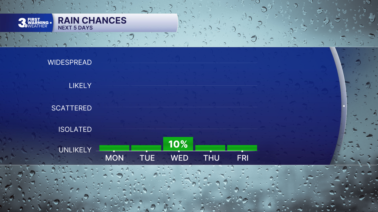
Our dry pattern continues with low rain chances expected all week! Today will start off with a few clouds and calm winds. After a chilly start we'll see temperatures jump into the 60s by midday with high temperatures in the mid to upper 60s this afternoon. Light winds out of the N at 5-10 mph are expected, along with dry conditions. Overnight skies will be clear, with lows dropping into the 40s with patchy frost and pockets of lows getting down into the 30s.

Tomorrow will be another sunny and pleasant day, with high temperatures reaching the upper 60s. Light winds out of the NE are expected, at 5-10 mph. Some clouds will start to move in on Wednesday, with a low end (10%) chance of a stray shower or drizzle on the Outer Banks. Highs on Wednesday will reach the mid to upper 60s.

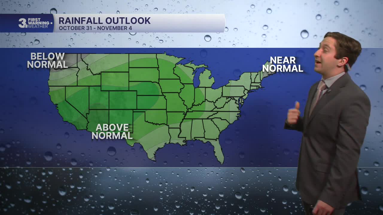
Temperatures will be slightly warmer to end out of the week, with highs reaching the low 70s along with sunshine returning on Thursday and Friday. Halloween will be picture-perfect, with partly cloudy skies along with dry conditions and high temperatures around 70. Sunday will feature some clouds, with a chance of rain finally returning by the beginning of next week.

Weather updates on social media:
