

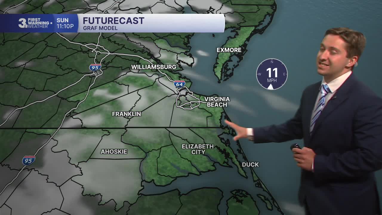


Meteorologist Tony Nargi's First Warning Forecast
Today will be a great one, with mostly sunny skies expected throughout the day along with light winds out of the E at 5-10 mph. Temperatures will start off cool in the 40s and 50s but recover quickly with high temperatures in the 70s expected. Overnight some clouds will start to build in with milder overnight lows in the 50s and 60s.

Tomorrow will start off mostly cloudy with occasional showers. Showers will last through about midday then slowly fade from north to south during the afternoon. High temperatures Monday will reach the upper 70s to low 80s, with winds out of the SW at 10-15 mph. Overnight skies will clear out, with lows in the 50s and low 60s. Tuesday will be cooler and windy, with high temperatures only reaching the upper 60s to low 70s. Winds will be out of the NE at 10-20 mph, with gusts up to 30 mph.


Wednesday will be another cool and breezy day, with high temperatures in the low 70s. Breezy conditions caused by a subtropical low-pressure system that stalls offshore should fade by Thursday as the low moves out to sea. By Friday temperatures should get back above normal, with a warm weekend in store for next week.

Weather updates on social media:
