

Meteorologist Tony Nargi's First Warning Forecast
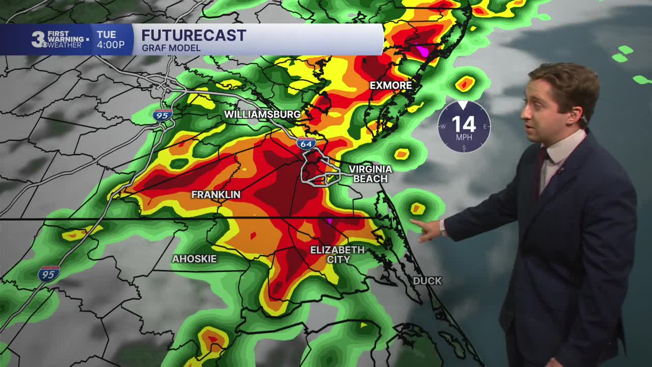
Storms will fade this evening, and showers/clouds will depart by 9 PM. We'll see mostly clear skies and standing floodwater should slowly start to go down this evening. Low temperatures will fall into the 60s.

Tomorrow will be much calmer than Tuesday, with mostly sunny skies expected and no chance of storms. We'll see high temperatures in the low to mid 80s with winds out of the NE at 5-10 mph. It will be noticeably less humid than Tuesday. Overnight will be mostly clear with lows in the 60s once again.

Thursday will be very nice, with high temperatures reaching the mid to upper 80s along with mostly sunny skies. Winds will be light out of the SE at 5-10 mph. Friday will be mostly sunny to start with partly cloudy skies by the afternoon. We'll see temperatures and humidity climb, with dew points reaching the low 70s by the afternoon. A few isolated thunderstorms will be possible Friday afternoon/evening.

Saturday will be a bit stormy, with storms popping up around midday and becoming more widespread during the afternoon. We'll see hot and humid conditions with high temperatures getting up to around 90 before cooling off as thunderstorms move through during the afternoon. Sunday will be a bit drier, with mostly sunny skies to start with isolated afternoon storms possible.

TROPICS:
No activity currently. Stay tuned for updates!
Weather updates on social media:
