



Meteorologist Tony Nargi's First Warning Forecast
This evening will be partly cloudy as skies begin to clear with temperatures in the upper 60s. Overnight lows will drop into the 50s inland and 60s along the coast, with patchy fog possible late.

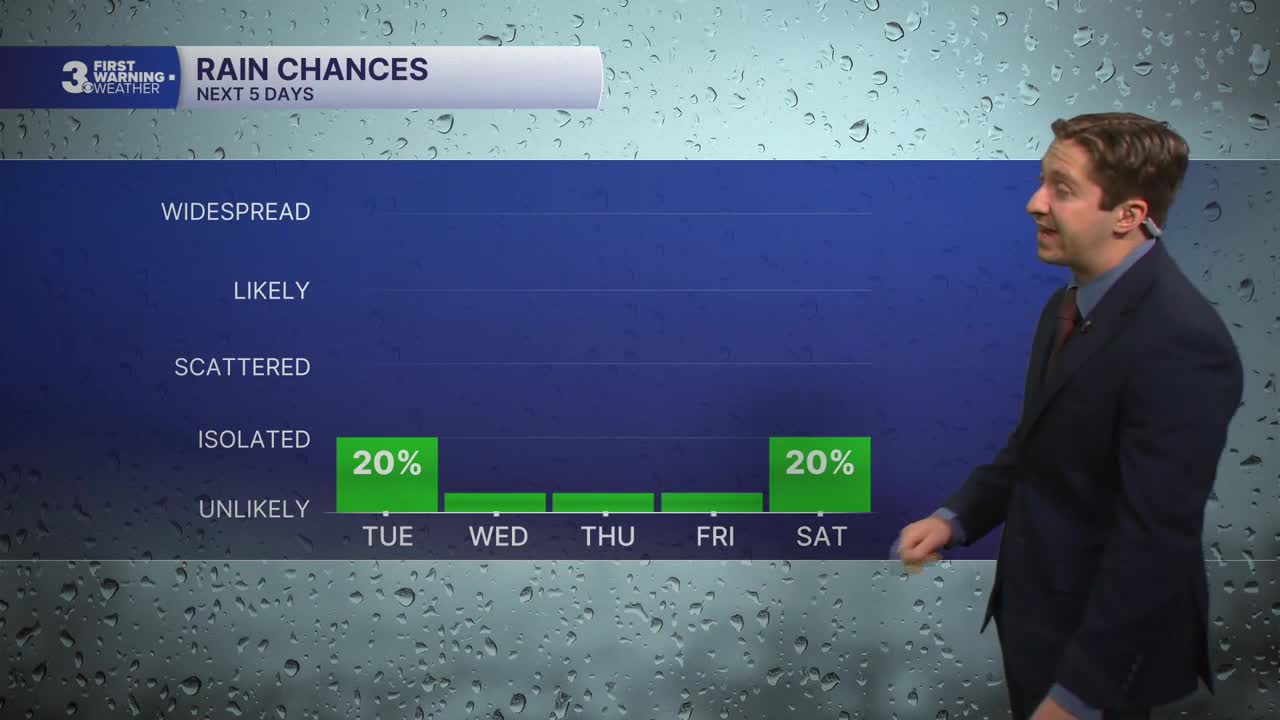
Tomorrow will start off with some patchy fog and partly cloudy skies followed by mostly sunny skies later in the morning through the afternoon. High temperatures will be in the low 80s, with winds out of the SE at 5-10 mph. Dry conditions are expected, but humidity levels will be slightly higher than they have been the past few days. Overnight lows will drop into the 60s, with clear skies expected.

Thursday will be warm and sunny, with high temperatures reaching the mid to upper 80s. Winds will be out of the S at 5-10 mph, along with humid conditions present. Friday will be another hot day with high temperatures in the upper 80s to near 90 degrees. Mostly sunny to partly cloudy skies are expected, with humidity staying in place.


Cooler weather arrives on Saturday with a few afternoon showers possible as well. High temperatures will reach the mid 70s to start the weekend. Periods of rain are likely on Sunday as an area of low pressure moves along a front that stalls over Hampton Roads. Around an inch of rain is expected as of now, stay tuned for updates as we get closer to the weekend.

TROPICS:

Tropical Storm Hanna continues to move slowly in the Central Atlantic and is expected to become post-tropical by Thursday. Other than Hanna, the Atlantic remains quiet!
Weather updates on social media:
