

Meteorologist Tony Nargi's First Warning Forecast
Temperatures won't fall too sharply this evening as we drop into the mid 60s. Winds will calm down to less than 10 mph, with clear skies expected.

Tomorrow will start out with sunshine, with some clouds moving in late in the day. It will be a step warmer, with high temperatures in the low to mid 80s. Winds will be out of the E at 5-10 mph, keeping temperatures slightly cooler along the coast. Overnight lows will drop into the 60s.

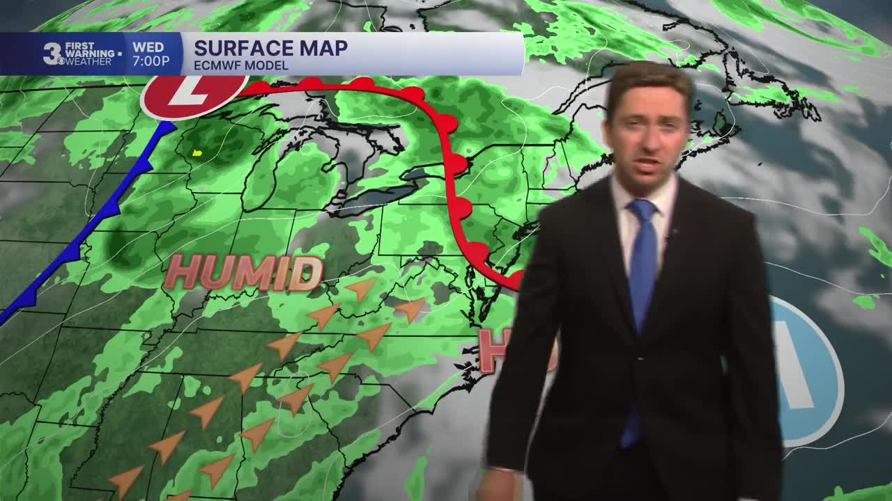
Wednesday will be warmer and more humid, with high temperatures climbing into the upper 80s and low 90s. Winds will pick up out of the S at 10-15 mph. We'll see partly cloudy skies in the morning followed by overcast skies during the afternoon. Scattered showers and storms are possible, particularly during the afternoon. Not everyone will see rain, but where storms do form a brief period of heavy rain will be possible. Thursday will be even warmer, with highs in the 90s. We'll see another chance of rain on Thursday, with scattered showers and thunderstorms expected throughout the day. It won't be raining all day but keep an umbrella handy for the quick hitting showers.


Heat and humidity will stick around to end the week, with temperatures staying in the upper 80s and low 90s. Some isolated storms look possible this weekend, but there will be long dry periods between showers/storms.

Weather updates on social media:
