

Meteorologist Tony Nargi's First Warning Forecast
This evening clouds will linger and a stray shower or storm is possible, particularly on the Outer Banks. We'll see mostly cloudy skies overnight with lows dropping into the 60s and low 70s.

Tomorrow will start off with clouds early followed by clearing mid-morning. We'll see mostly sunny to partly cloudy skies during the afternoon with winds out of the SW at 5-10 mph. A sea breeze will develop during the afternoon, keeping temperatures in the 80s along the coastline with low to mid 90s expected inland. Overnight Wednesday will be clear, keep an eye out for the alignment of the Moon and Venus around 9 PM!

On Thursday temperatures will climb into the mid to upper 90s. The feels like temp will be in the mid 100s by the afternoon! We'll see mostly sunny skies during the morning, followed by increasing clouds during the afternoon. Winds will be out of the SW at 10-20 mph with gusts up to 30 mph. Scattered thunderstorms will pop up late in the day, and there's a low-end chance of seeing a severe storm as well. The main severe threat would be strong winds.

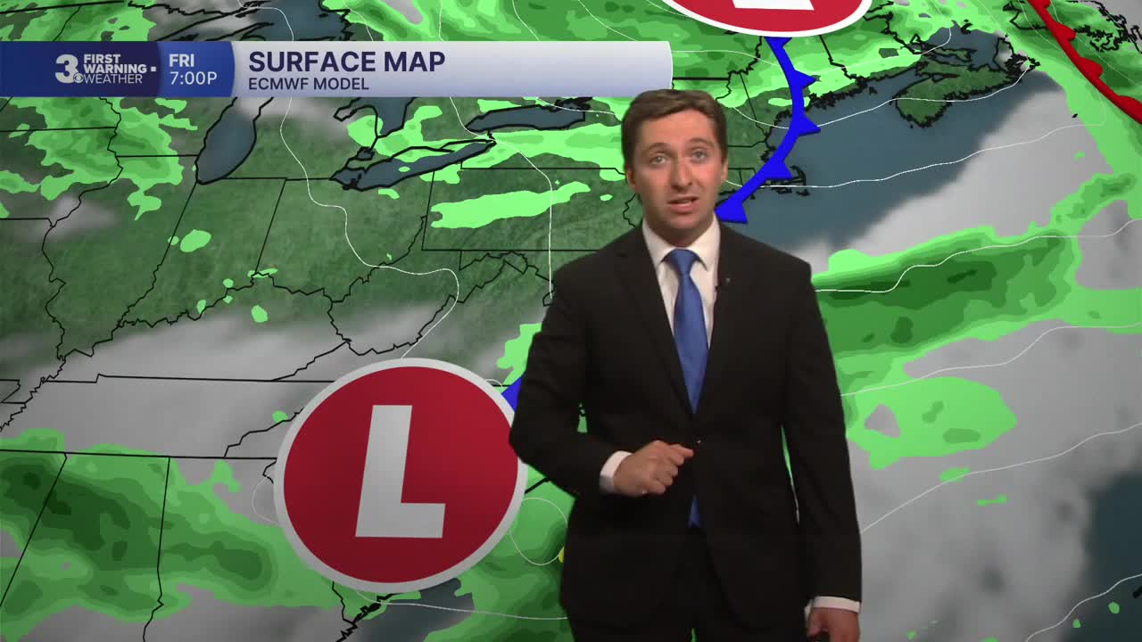
Friday is looking like a rainy one, with scattered showers and storms during the morning becoming widespread during the afternoon. Keep an eye on the radar if you plan on being outside for the festivities! It won't be raining the whole time but keep an umbrella handy and have somewhere to get inside for when storms do move through. Saturday is looking really nice, with dry conditions and temperatures in the 80s. Sunday will be partly cloudy with highs in the 80s as well.

TROPICS:
Our first system in the tropics has developed! Potential Tropical Cyclone One is expected to become Tropical Storm Arthur off the coast of Texas on Wednesday. Arthur's moisture may bring about some enhanced rainfall amounts on the Outer Banks for Friday's storms.

Weather updates on social media:
