



Meteorologist Tony Nargi's First Warning Forecast
This evening will be dry with mostly clear skies, with temperatures dropping into the low 70s and 60s. Overnight will be clear, with winds out of the S at 5-10 mph and lows in the 60s and upper 50s well inland.

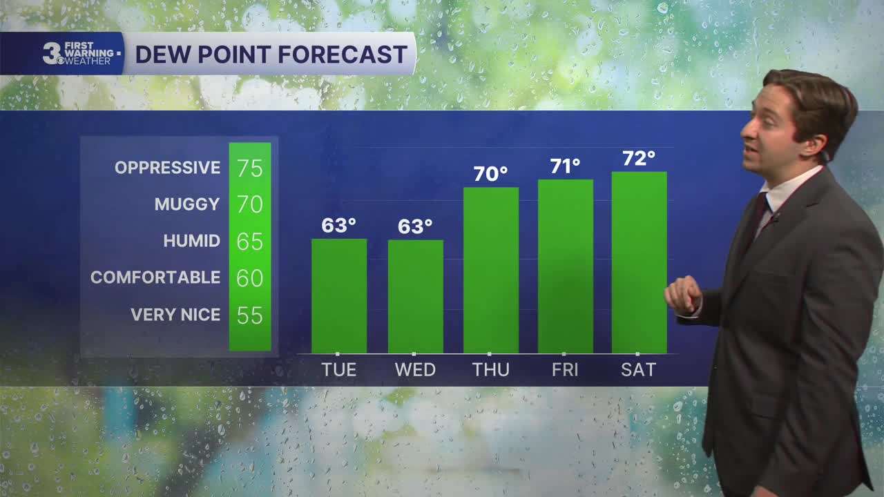
Tomorrow will be warm and dry, with mostly sunny skies expected and no chance of rain. We'll see high temperatures in the mid to upper 80s, a step warmer than Tuesday. Winds will be out of the S/SW at 5-15 mph. Overnight will be partly cloudy, with dew points climbing into the low 70s as humidity levels increase.

Thursday will be hot and humid, with high temperatures reaching the low to mid 90s. It will be humid as well, with dew points in the low 70s. Winds will be out of the SW at 5-15 mph. Dry conditions are expected Thursday. Friday will feature slightly cooler conditions, with high temperatures reaching the mid 80s. It will still be humid, with dew points in the 70s. An isolated shower or storm is possible, with just a 20% chance of rain.

Showers and storms are expected to be more widespread on Saturday, with a 60% chance of rain expected. High temperatures will stay in the mid 80s this weekend, with storms possible on Sunday as well. Drier conditions return on Monday.

TROPICS:

Still no activity!
Weather updates on social media:
