

Meteorologist Tony Nargi's First Warning Forecast
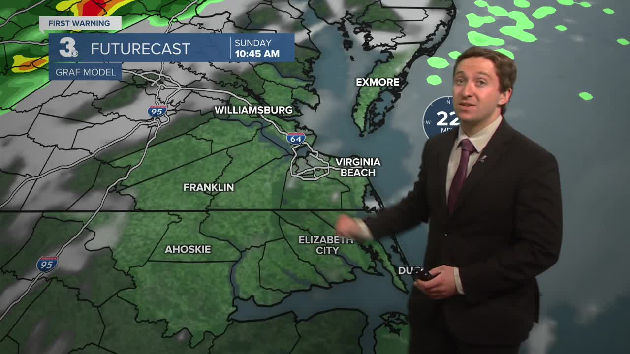
Today will start off mild and windy with temperatures reaching the 70s before 8 am. We'll see sunny and windy conditions through lunchtime, with clouds and thunderstorms developing after around noon. Thunderstorms are expected to arrive this afternoon between 1 PM and 4 PM from west to east. We have a marginal (1/5) risk for severe weather, with isolated damaging wind gusts possible amongst some of the thunderstorms this afternoon. Storms will evolve into a steady rain during the late afternoon, with downpours possible at times. Rain finally clears out after 10 PM, with a half an inch to an inch of rain expected. Overnight lows will drop into the 40s and 50s.


Tomorrow will start off cool and breezy with clear skies. We'll see mostly sunny skies Monday along with cooler temperatures in the 60s by the afternoon. Breezy conditions out of the N at 10-15 mph during the morning will calm down and turn out of the S at 5-10 mph during the afternoon. Overnight lows will drop into the 40s, with partly cloudy skies expected.

Tuesday and Wednesday will continue the cooler trend, with temperatures in the 50s and low 60s. We'll see dry conditions continue for the rest of the week, with just a stray shower possible on Friday. Other than that, a long stretch of dry weather is expected, with temperatures slowly warming up towards the end of the week.

Weather updates on social media:
