

Meteorologist Tony Nargi's First Warning Forecast
Today will be a complete washout, with steady rain expected for most of the day. It will also be windy, with winds out of the NE at 20-30 mph with gusts as high as 40 mph. Strong NE flow will lead to tidal flooding, this afternoon we will see minor/moderate flooding. On Wednesday we'll see minor tidal flooding during the morning/afternoon high tide cycles. High temperatures will reach the upper 50s to low 60s. This evening steady rain will taper off to shower activity which lasts overnight. Low temperatures will drop only into the low to mid 50s.


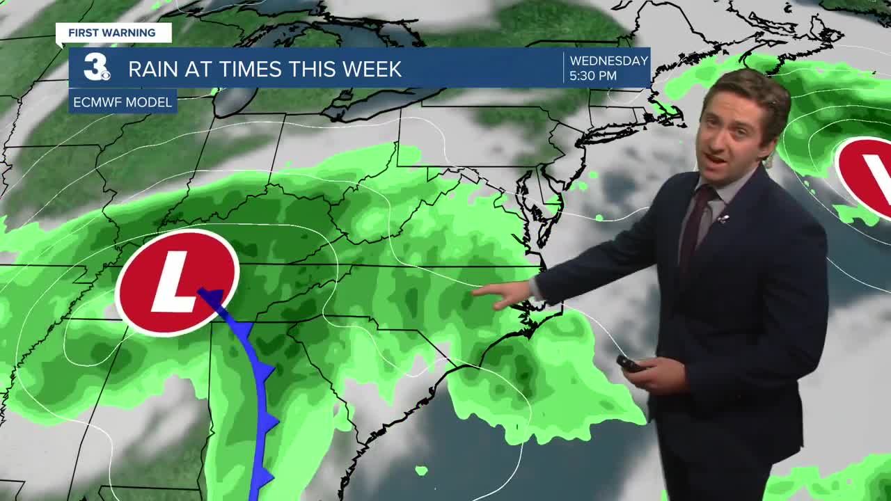
Tomorrow will start off cloudy with occasional showers possible. Then mainly dry conditions are expected during the afternoon with some breaks in the cloud cover possible. It will still be windy, with winds out of the NE at 15-25 mph with gusts up to 35 mph. High temperatures will be in the low to mid 60s. Overnight rain and wind will move back in as a second low pressure system slides to our north. Temperatures will stay in the low 60s overnight Wednesday. On Thursday morning a line of heavy rain and some thunderstorms are possible, with temperatures jumping into the mid to upper 60s during the morning. After the rain and storms move through, it will begin to dry out around midday. On Thursday afternoon temperatures will drop into the low 60s with skies clearing out. Winds will be less gusty, out of the SW at 10-20 mph.


Nice weather returns in time for Halloween, with mostly sunny skies expected along with highs in the low 60s. The weekend looks pleasant as well, with temperatures in the low to mid 60s along with mostly sunny to partly cloudy skies.

TRACKING THE TROPICS
Hurricane Melissa has maintained its strength, with 175 mph max sustained winds. It will hit the western half of Jamaica later this morning, with devastating impacts from extreme winds, flash flooding, and landslides expected. The storm will then make landfall in SE Cuba near Santiago de Cuba tonight/early Wednesday morning as a major category 4 hurricane. The storm will move through the southern Bahamas, and could even impact Bermuda. The storm will then move out into the open waters of the Atlantic, with a cold front helping keep the storm clear of the US east coast.


Weather updates on social media:
