

Meteorologist Tony Nargi's First Warning Forecast
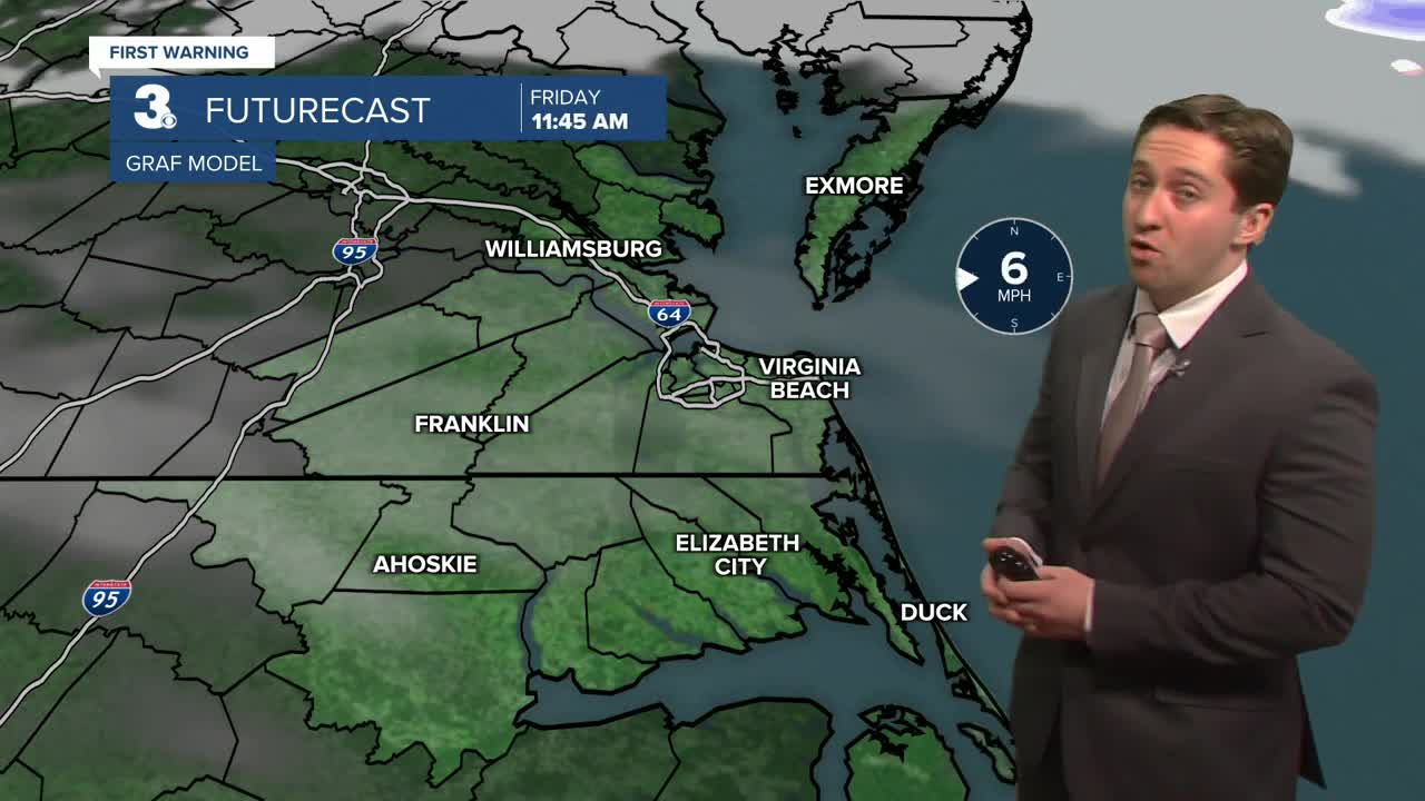
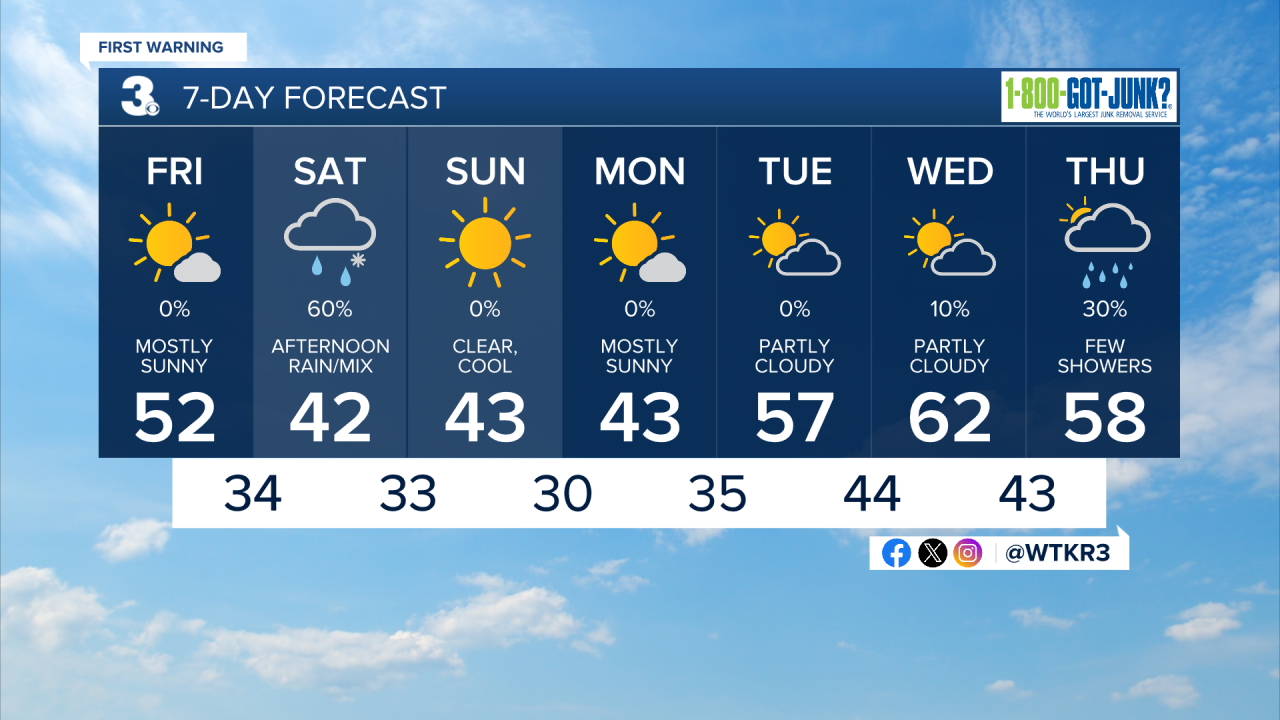
Today will be mostly sunny and pleasant with high temperatures reaching the low to mid 50s along with light winds. Winds will start out of the SW at 5-10 mph, turning out of the NE during the afternoon at 5-10 mph. Tonight clouds will increase with overnight lows dropping into the 30s.

Tomorrow will be cloudy and cool with high temperatures staying in the low 40s. We'll see some light rain move in during the afternoon. Some wet snow and sleet could mix in during the afternoon. No snow accumulation is expected; roads will be wet but should not be slippery. Winds will be out of the ENE at 10-15 mph. Overnight temperatures will drop into the 30s. Sunday will be cool, with highs in the low 40s along with mostly sunny skies. Winds will be out of the NW at 10-15 mph.


Monday will be a step warmer with highs in the mid 40s. Temperatures will start to increase towards the end of next week, jumping into the upper 50s and 60s. A warmer pattern sets in by next weekend.
Weather updates on social media:
