

Meteorologist Tony Nargi's First Warning Forecast
Today will be a warm a pleasant spring day. We'll start off with patchy fog and a few clouds during the morning followed by mostly sunny skies by the afternoon. High temperatures will reach the upper 70s to mid 80s. Winds will be noticeable out of the S at 10-15 mph. Overnight some clouds will start to build after midnight, with low temperatures only dropping into the 50s and low 60s.

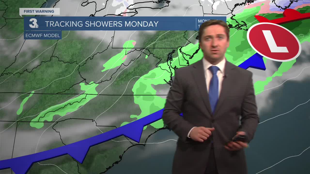
Tomorrow a cold front will push through Hampton Roads, with clouds and isolated showers possible during the morning. Winds will turn out of the N at 10-20 mph, with gusts up to 35 mph possible. Temperatures will start in the 60s and low 70s during the morning, dropping into the 50s and low 60s by the afternoon. Clearing is expected late in the day, with sunshine emerging during the afternoon. Overnight we'll see clear skies and cool conditions, with temperatures dropping into the upper 30s and low 40s. Tuesday will be cool and mostly sunny, with high temperatures in the upper 40s to low 50s. Winds will be out of the NE at 5-10 mph.


Temperatures will start to warm back up by the middle of the week, with high temperatures reaching the 60s on Wednesday and around 70 on Thursday. Another cold front will arrive sometime Friday, dropping temperatures by next weekend.

Weather updates on social media:
