

Meteorologist Tony Nargi's First Warning Forecast
This morning we'll see some cloud cover and spotty showers along with light winds out of the SW at 5-10 mph. The day starts off mild in the upper 50s and low 60s, with temperatures jumping into the low to mid 70s by the afternoon. Winds will pick up out of the SW at 10-15 mph. A stray shower or storm is possible this afternoon, but the majority of us will see partly cloudy skies. This evening clouds will move back in with showers and thunderstorms likely after 8 pm. Temperatures will drop into the 40s tonight as a cold front slides through our region.


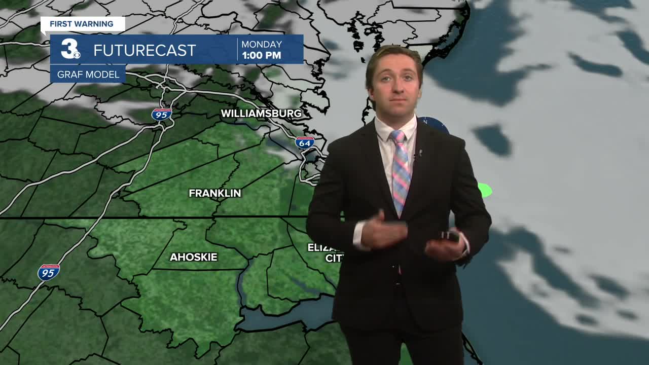
Tomorrow morning will start off cloudy with some rain possible through 9 am. After 9 am rain will subside, with mostly cloudy to partly cloudy skies expected during the afternoon. Highs will be cool in the low to mid 50s. Winds will be out of the WNW at 10-15 mph. Overnight temperatures will drop sharply into the 30s and upper 20s as cold air continues to move in. Wind chills will be in the 20s region wide, and a freeze watch is in place region wide. An isolated snow shower or flurries are possible Monday night as well. Cloud cover will clear out by Tuesday morning, with mostly sunny skies expected for Veterans Day. It will be a chilly day, with highs in the mid to upper 40s. Winds will be out of the WNW at 10-20 mph, gusting up to 25 mph.


Temperatures will moderate Wednesday, with high temperatures staying cool in the upper 50s to low 60s. We'll see plenty of sunshine to end out the work week, with dry conditions expected through Saturday.

Weather updates on social media:
