



Meteorologist Tony Nargi's First Warning Forecast
This evening will be mostly clear and not as cool with temperatures hovering into the low 70s and dropping into the mid to upper 60s overnight. Some patchy fog is possible after 3 AM.

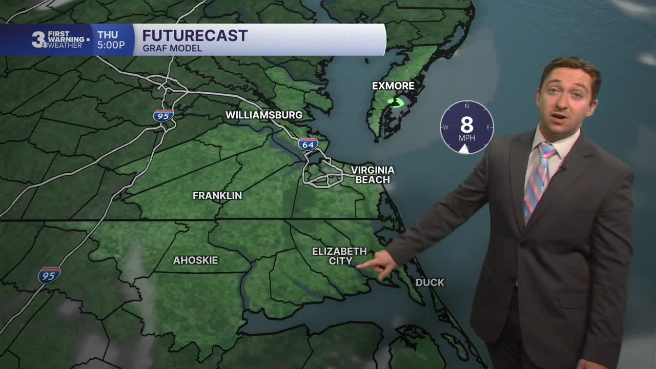
Tomorrow will be warm and summer-like with high temperatures in the mid to upper 80s. Winds will be light out of the S at 5-10 mph. Dew points will jump to near 70, so humidity will return briefly to Hampton Roads. We'll see mostly sunny skies throughout the day, with clear skies expected overnight and lows dropping into the mid to upper 60s.

On Friday we'll see high temperatures near 90 with humid conditions continuing. Mostly sunny skies are expected once again with no chance of rain. On Saturday, temperatures will cool off into the low 70s as clouds and showers return to the region. We'll see patchy showers along with winds out of the NE at 10-15 mph.

Sunday will feature widespread rain as a low-pressure system starts to develop over North Carolina. Light showers during the morning will transition to periods of steady rain during the afternoon and evening. Around an inch of rain is expected, with showers lingering into Monday. After Monday, temperatures will fall dramatically, with highs in the 60s on Tuesday and Wednesday.

TROPICS:
All quiet! Tropical Storm Hanna has become post-tropical and no areas of interest are present in the Atlantic.

Weather updates on social media:
