



Meteorologist Tony Nargi's First Warning Forecast
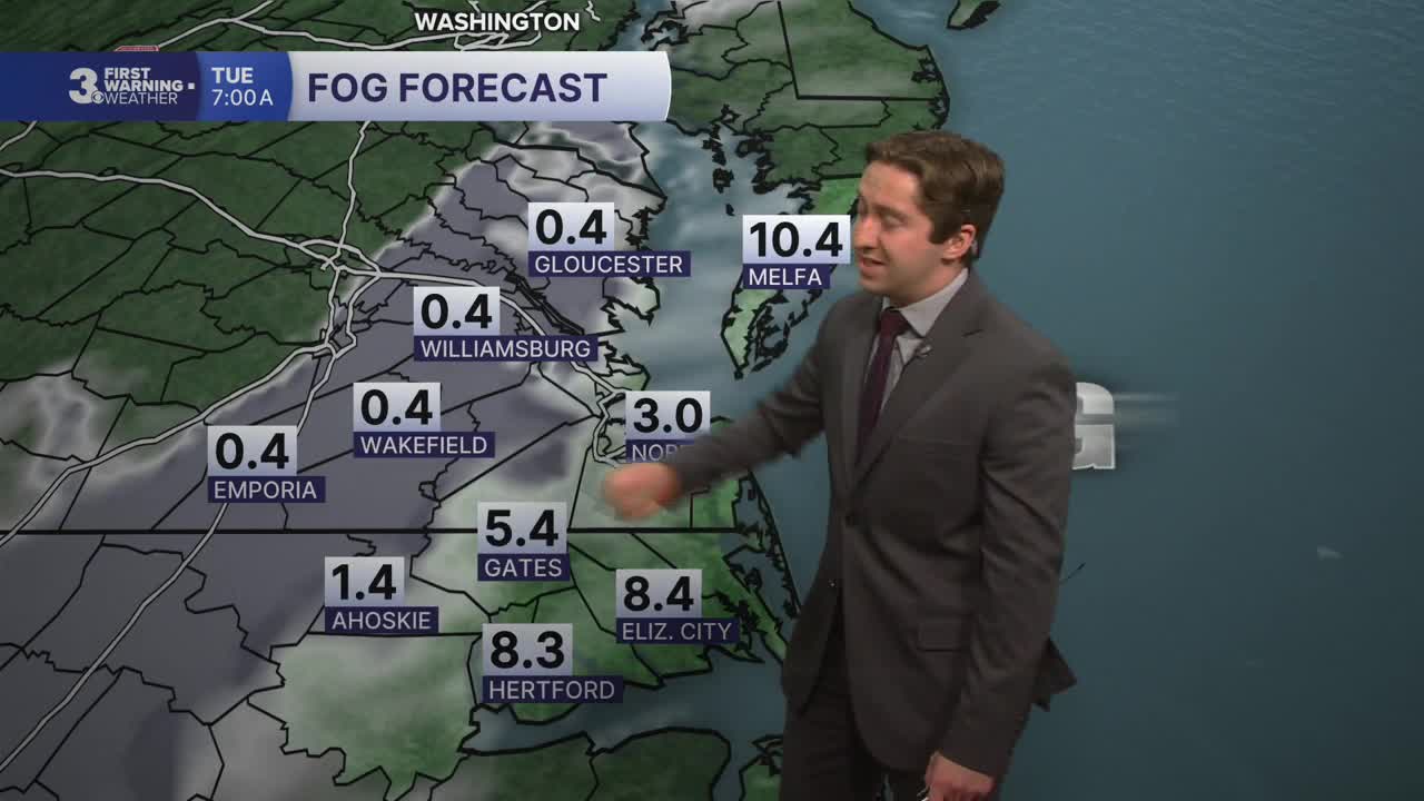
Tonight our skies will clear from west to east, with overnight lows dropping into the 40s inland and 50s along the coast. Patchy dense fog is possible late tonight into early tomorrow morning.

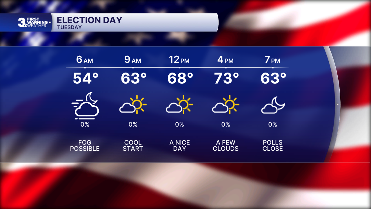
Tuesday will be lovely, with mostly sunny skies expected along with high temperatures warming into the 70s. Winds will be light out of the E at 5-10 mph. Overnight lows Tuesday will be similar to Monday, falling into the 40s inland and 50s along the coast.
Wednesday will be warm and partly cloudy with high temperatures jumping into the upper 70s. Winds will turn out of the SE on Wednesday, with winds out of the SE at 5-15 mph. Thursday will be even warmer, with high temperatures surging to around 80 degrees. We'll see some partly cloudy skies along with a 20% chance of a stray shower.


Rain finally returns to Hampton Roads after a 3 week hiatus Friday. As a cold front moves through a period of steady rain is likely, and some isolated thunderstorms are possible as well. The much needed 0.5 to 1.5" of rain will fall throughout the day on Friday, with clearing expected Saturday. Temperatures will drop back into the 60s over the weekend with relatively dry conditions expected.

Weather updates on social media:
