


Meteorologist Myles Henderson’s First Warning Forecast
Warmer days ahead with highs in the 50s and 60s. Several chances for showers to end the week.
Even warmer today with highs in the mid to upper 60s, about 10 degrees warmer than yesterday. Expect mostly cloudy skies and a strong SW wind at 10 to 20 with gusts to 30 mph. Scattered showers will move in tonight.

Clouds will stick around and rain chances will increase for Thursday. Temperature will drop from the 50s in the morning to the 40s in the afternoon.
Clouds and showers continue for Friday. Highs will jump back to the mid 60s.

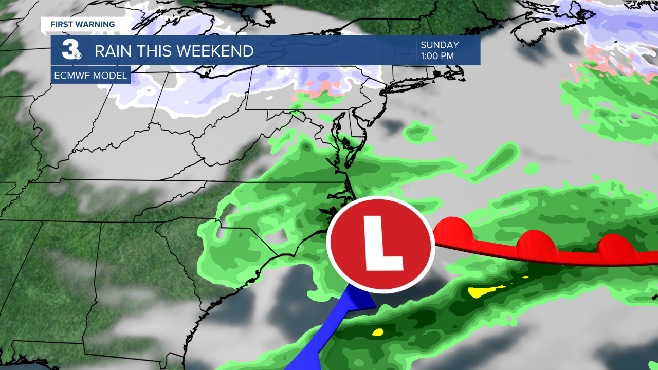
Another round of showers moves in for the weekend. As of now, lower chances on Saturday and higher chances on Sunday. Highs will drop to the low and mid 50s this weekend.
Even colder air returns for next week with highs in the 40s.
Today: Mostly Cloudy, Windy. Highs in the upper 60s. Winds: SW 10-20 G30
Tonight: Scattered Showers. Lows in the mid 50s. Winds: SW 5-15
Tomorrow: Mostly Cloudy, Rain. Falling into the 40s. Winds: N/E 5-10
Weather updates on social media:
Facebook: MylesHendersonWTKR
Instagram: @MylesHendersonWTKR
