


Meteorologist Myles Henderson’s First Warning Forecast
A one-day warm up today. Rain to snow on Sunday. A sunny and cold stretch next week.
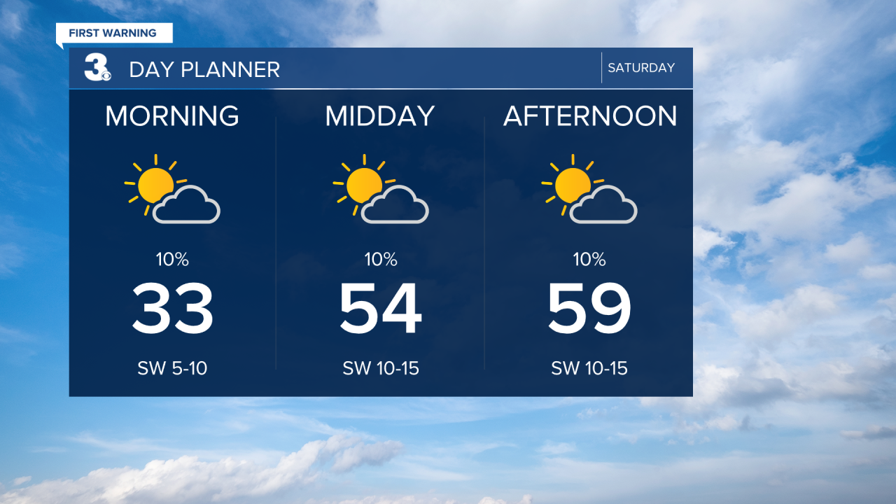
A cold start this morning with temperatures in the 30s. We will climb to the upper 50s this afternoon, about 15 degrees warmer than yesterday. Look for building clouds today with more sun in the morning and more clouds in the afternoon.
We will start Sunday with widespread rain and temperature in the 40s. As colder air moves in, temperatures will fall into the 30s and the rain will switch to snow (from NW to SE). Snow accumulation will be limited by a (relatively) warm and wet ground, but some accumulation is possible. Most of the region will see ~1” or less, with higher totals possible surrounding the Chesapeake Bay (Eastern Shore, Middle Peninsula, Peninsula).

Skies will clear out for MLK Day. Expect mostly sunny skies with highs in the mid 40s, about 5 degrees below normal for this time of year. Sunny skies will continue early next week with highs in the 30s and 40s.

Today: Building Clouds. Highs in the upper 50s. Winds: SW 5-15
Tonight: Mostly Cloudy. Lows in the mid 40s. Winds: W 5-10
Tomorrow: Rain to Snow. Temperatures falling to the 30s. Winds: N 5-15
Weather updates on social media:
Facebook: MylesHendersonWTKR
Instagram: @MylesHendersonWTKR
