


Meteorologist Myles Henderson’s First Warning Forecast
Warming up this week with highs in the 60s. Most of the week will be dry with showers moving in this weekend.
Not as cold this morning with temperatures in the 30s and 40s. We will see a mix of partly to mostly cloudy skies today. Highs will warm to the low 60s, about 10 degrees above normal for this time of year.

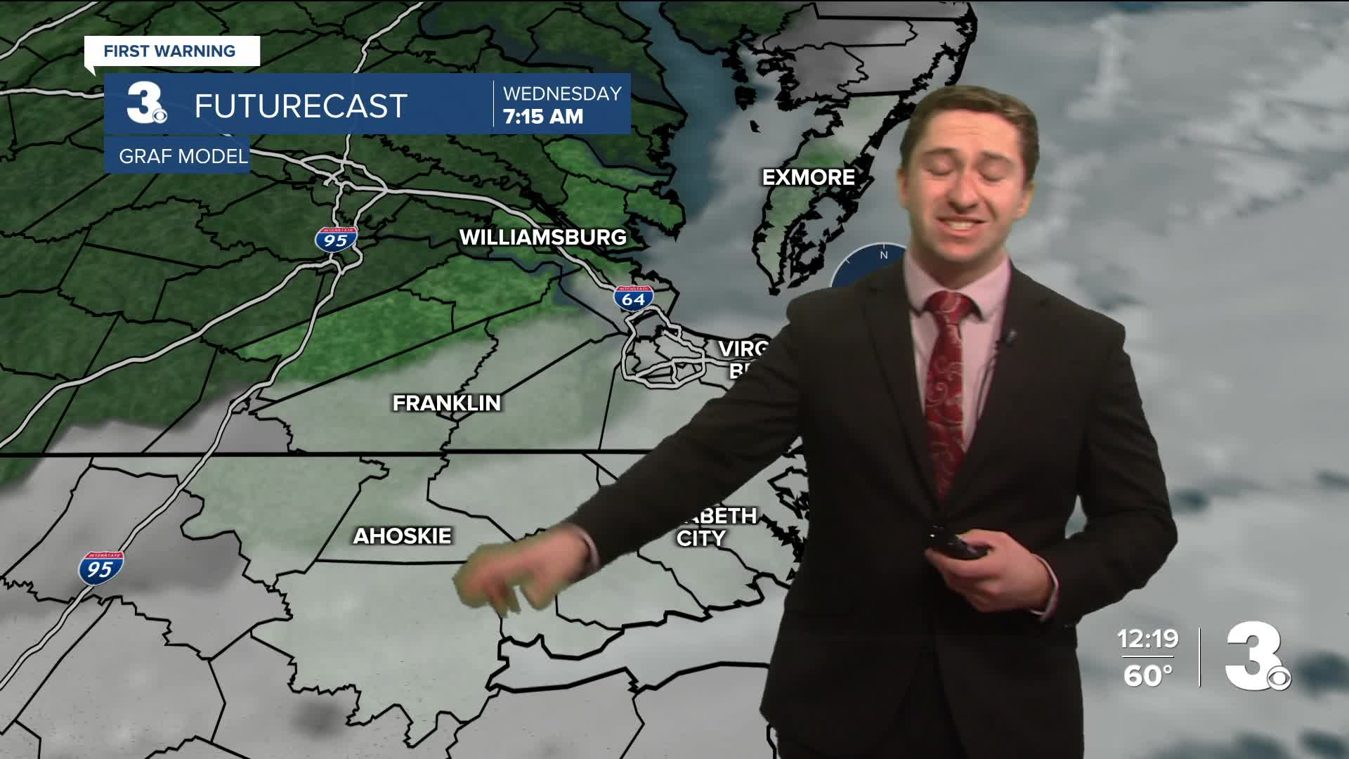
Wednesday may be the nicest day of the week with mostly sunny skies and highs in the mid 60s. Highs will dip to upper 50s on Thursday with mostly sunny to partly cloudy skies.
Friday will be the warmest day of the week with highs in the upper 60s as a warm front slides to our north. We will see partly to mostly cloudy skies with a spotty shower possible.

Some changes move in this weekend with a cold front. Expect more clouds with scattered showers Saturday to Sunday morning. Temperatures will drop from the upper 60s on Saturday to the mid 50s on Sunday, behind the front.

Today: Mix of Clouds. Highs in the low 60s. Winds: SW 5-10
Tonight: Mix of Clouds. Lows in the upper 40s. Winds: SW 5-10
Tomorrow: Mostly Sunny. Highs in the mid 60s. Winds: W/N 5-10
Weather updates on social media:
Facebook: MylesHendersonWTKR
Instagram: @MylesHendersonWTKR
