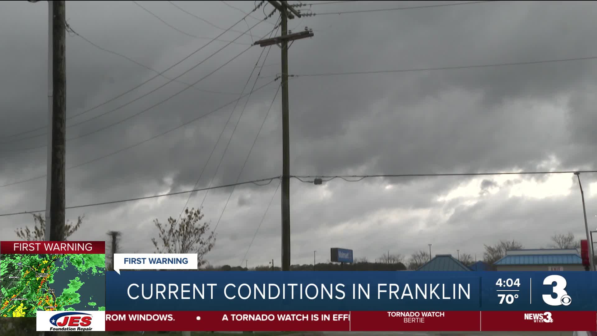


Hazardous weather conditions are arriving to Virginia and North Carolina on Monday, leading to multiple warnings being issued by weather authorities.
As of 4:00 p.m., multiple tornado warnings and severe thunderstorm warnings were being issued in counties in and around Hampton Roads and northeastern North Carolina. All seven Hampton Roads cities will be under tornado watch until 7 p.m.
A tornado warning was issued for Camden and Pasquotank Counties from around 3 p.m. until 3:30 p.m. Earlier, a tornado warning was issued for Perquimans and Chowan Counties from around 1 p.m. to 1:15 p.m.
In Norfolk, a News 3 viewer sent us the below photo from the Ocean View neighborhood facing the bay showing a storm over the water. The photo was taken around 2:15 p.m.

Multiple videos of downed trees in Virginia Beach were sent to News 3.
Watch: Video taken by Oscar Acevedo shows downed trees obstructing paths in Great Neck area
A massive tree toppled over onto a house at the corner of Oconee Avenue and Julie Drive in the Lynnhaven area of Virginia Beach Monday afternoon.

Crews are on scene assessing the damage.
Watch: Video taken by Tracy Vertelka shows broken trees near London Bridge
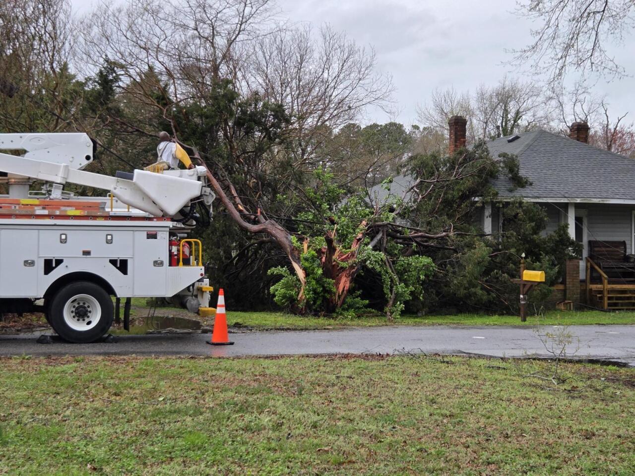
On Fair Lady road in Virginia Beach, News 3 reporter Colter Anstaett saw Dominion Energy crews working to clean up a seriously damaged tree in front of a home.
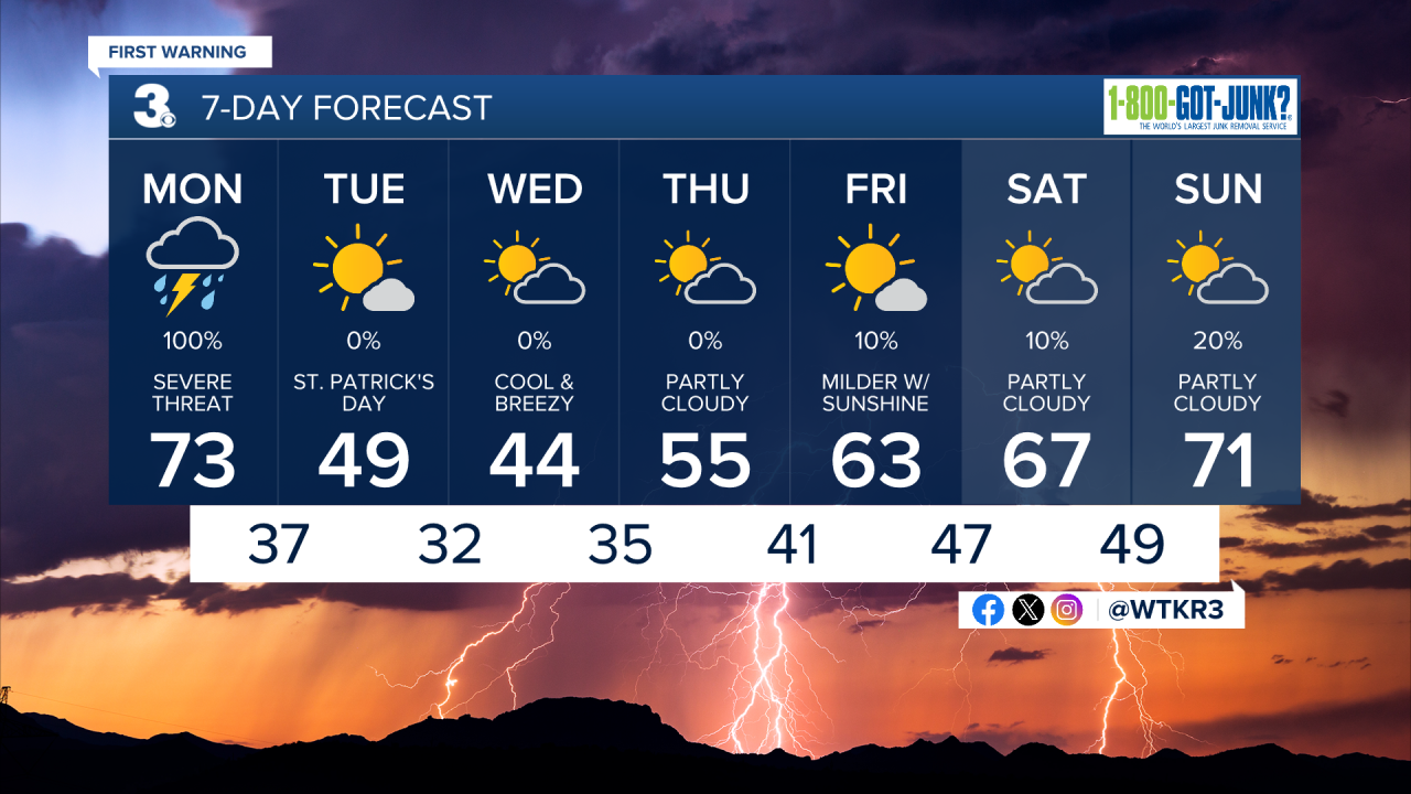
Meteorologist Tony Nargi's First Warning Forecast
Today we have a very rare moderate (level 4/5) risk for severe weather in parts of our region. The last time we had a moderate risk was almost 5 years ago! This storm means business, and we are expecting a robust environment for severe storms that will lead to multiple rounds of severe weather. Temperatures will start in the upper 60s today and reach the low to mid 70s this afternoon. Winds will be out of the S at 20-30 mph, with gusts up to 40 mph

OVERVIEW: Early this morning we'll see occasional showers and non-severe storms. Our severe threat will increase throughout the morning, with the severe threat window opening around 9 or 10 am. Severe storms will increase coverage by the early afternoon, with multiple rounds of severe storms possible.
This means that once a storm has passed, that doesn't mean the threat is over. Later in the afternoon and through the evening, organized lines of multiple storms will likely form squall lines. The threat ends this evening as the cold front pushes though between 9 PM and midnight.

LATE AM/EARLY PM: The main threat during the first half of our severe weather window will be damaging wind gusts and tornadoes. This is a lower confidence, higher intensity forecast due to the threat of supercell thunderstorms. Though the chances of a supercell forming are relatively low, if one or multiple supercells form, we could see strong (EF2+) tornadoes. Strong wind gusts and hail will still be possible during this window as well, make sure you have a way to receive severe weather warnings.
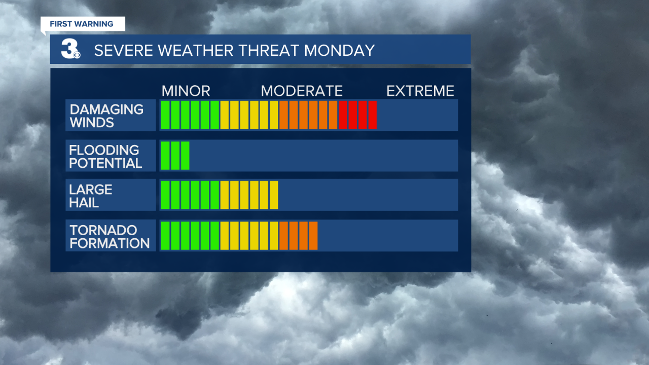
LATE PM/EVENING: After around 3 PM storms will begin to organize into squall lines, with the main threat shifting to damaging wind gusts, with weaker embedded tornadoes possible. This is a higher confidence forecast, with lower peak intensity (essentially, the worst-case scenario isn't as bad). Gusts up to 80 mph will be possible during this period, check live radar before your afternoon commute and don't drive through severe storms.

Things calm down on Tuesday with mostly sunny skies and cooler weather expected. Temperatures drop into the mid 40s Wednesday before bouncing back to end the week. We'll see mainly dry weather for the rest of the week.
Weather updates on social media:
