


Hurricane Erin has re-intensified and the eyewall replacement cycle is now complete. It is currently a category 4 storm, with maximum sustained winds of 130 mph. Despite Erin staying well offshore, dangerous beach conditions are expected along the Atlantic coast as the storm grows in size.

Erin's wind field has been getting larger and could continue expanding over the next few days. Some additional strengthening is possible but gradual weakening is forecast by the middle of the week.

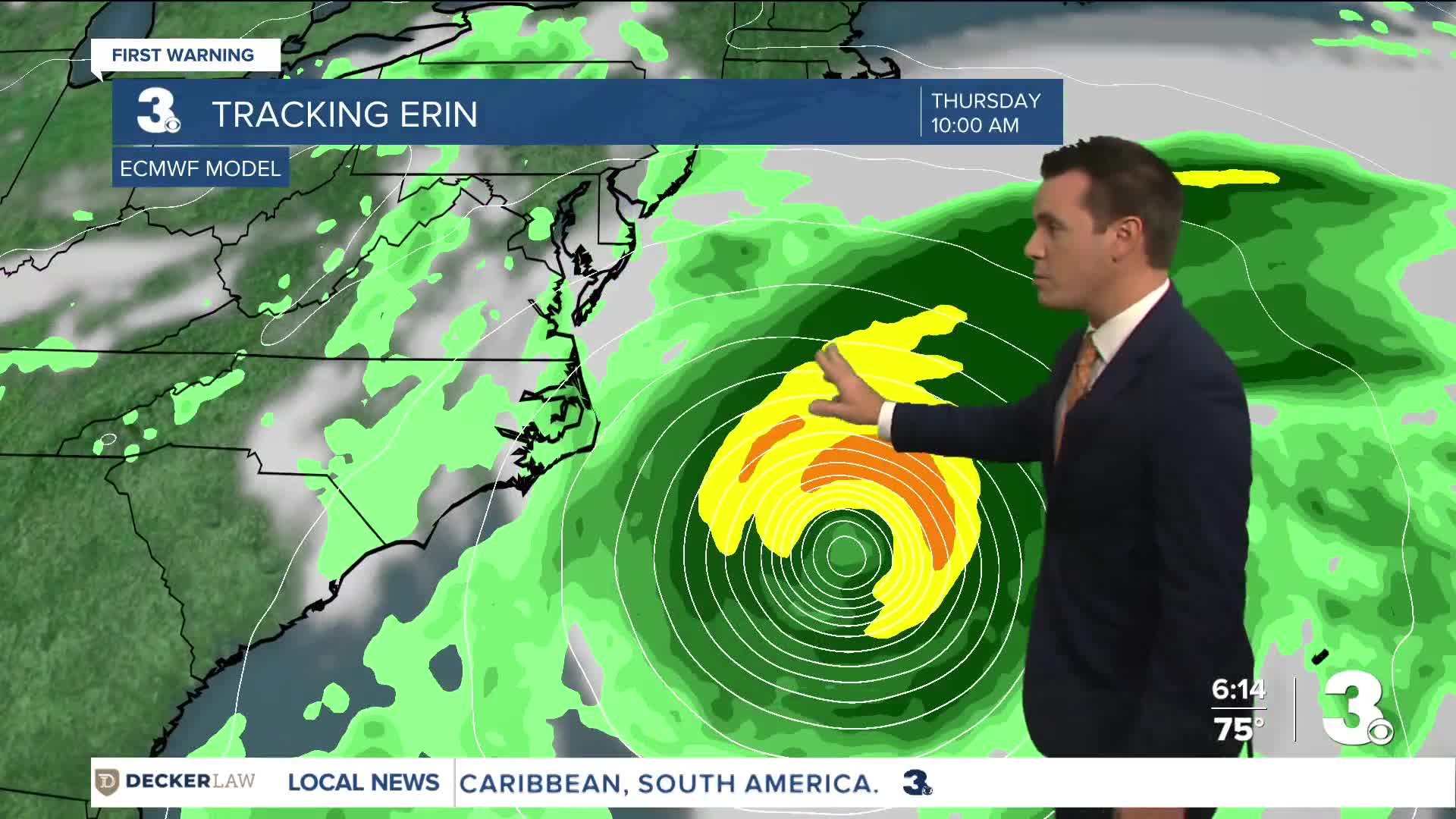
The forecast track continues to remain consistent. Erin is not expected to move over land but it is expected to increase in size so its effects will still be felt far beyond the forecast cone. Some of the outer bands could clip portions of the Outer Banks posing the threat of heavy rainfall and tropical storm force winds.

Dangerous beach conditions will persist all week long with maximum surf height anywhere from 10 to 12 feet! There will be a high rip current risk in place all week long.

Due to the high surf, coastal flooding will be our biggest concern. Hatteras Island is currently under mandatory evacuation as roads are forecast to become impassible especially Wednesday and Thursday. For more details on evacuation orders, click here.

