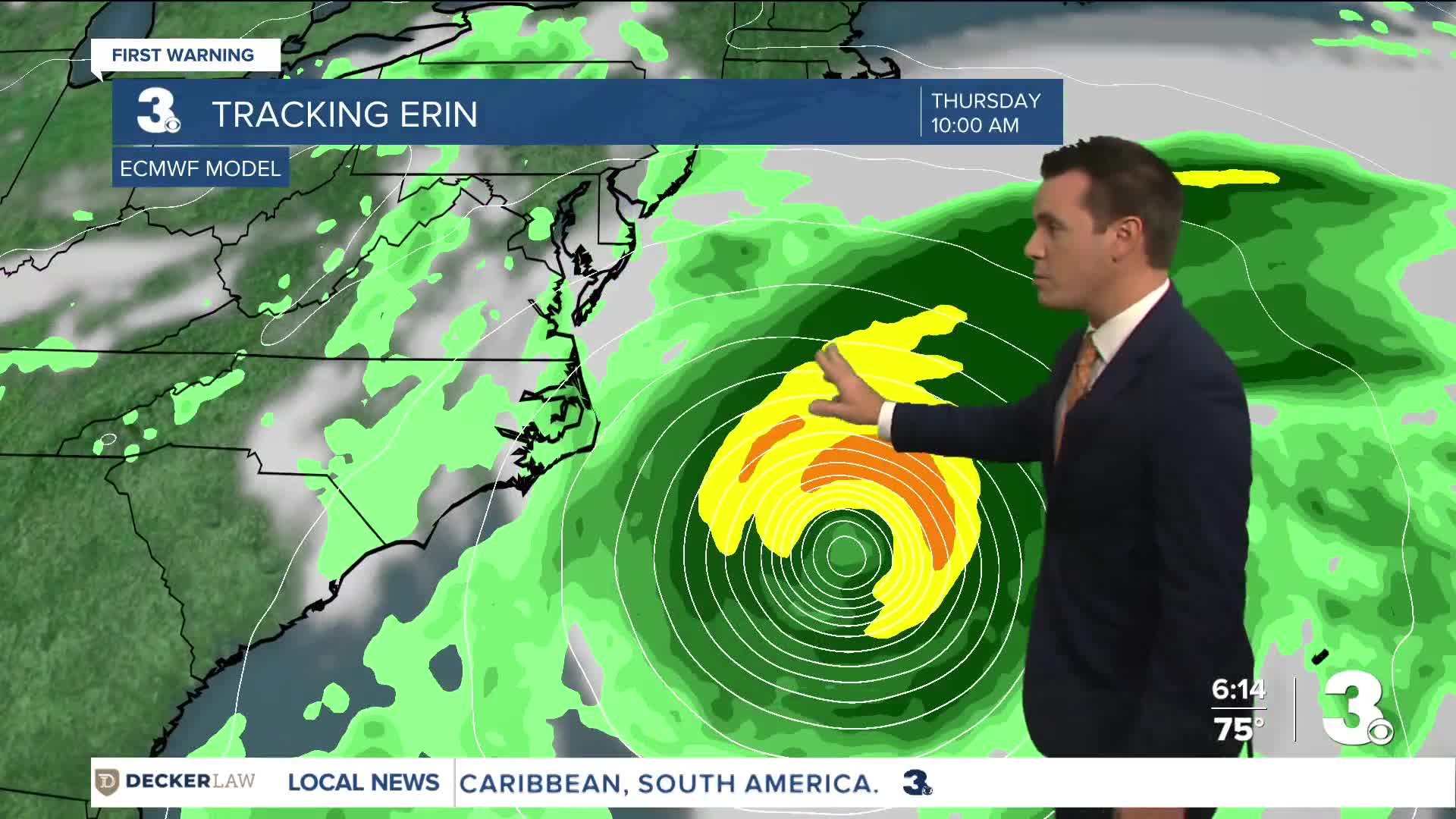


OUTER BANKS, N.C. — Dare County officials declared a state of emergency Sunday evening as Hurricane Erin is forecast to bring life-threatening impacts to the Outer Banks, despite the storm staying well off the coast.
A Coastal Flood Watch has already been issued for Dare County. Coastal flooding and ocean overwash are expected to begin as early as Tuesday, Aug. 19, and continue through Thursday, Aug. 21. Officials say portions of N.C. Highway 12 on Hatteras Island will likely be impassable for several days.
The state of emergency took effect Sunday, Aug. 17, at 6 p.m.
Watch: Sunday evening Hurricane Erin update
A mandatory evacuation order was issued for Hatteras Island, which is designated as Zone A. Zone A includes all of Hatteras Island, including the unincorporated villages of Rodanthe, Waves, Salvo, Avon, Buxton, Frisco and Hatteras.
- Mandatory visitor evacuation: All visitors in Zone A must evacuate beginning at 10 a.m. Monday, Aug. 18.
- Mandatory resident evacuation: All residents in Zone A must evacuate beginning at 8 a.m. Tuesday, Aug. 19.
Later Sunday evening, Hyde County officials called for a state of emergency and issued a mandatory evacuation order for visitors, effective 8 p.m. Sunday, and the same order for residents, beginning 6 a.m. Tuesday.
"While Hurricane Erin is expected to stay well off our coast, the system will continue to increase in size and is forecast to bring life-threatening impacts to the Ocracoke coastline and render Highway 12 impassable," the Hyde County statement reads.
Officials are urging residents and visitors to make final preparations, secure property, and evacuate with all personal belongings.
NCDOT provided more details for those evacuating:
Only residents, homeowners or vendors with an Ocracoke re-entry sticker on their vehicles will be allowed on ferries inbound to Ocracoke. No visitors will be allowed access to Ocracoke Island until the evacuation order is lifted.
Priority boarding will be suspended for all vessels leaving Ocracoke, and tolls have been waived for ferries heading from Ocracoke to Cedar Island or Swan Quarter.
Watch related: Carnival Sunshine won't stop in Bermuda this week due to Hurricane Erin
The National Weather Service in Newport/Morehead City said coastal flooding may begin with the evening high tide Tuesday. Large waves up to 20 feet are expected, along with severe beach erosion and life-threatening rip currents. Officials warn protective dune structures could be destroyed, flooding homes and businesses and making roads impassable.
Dare County leaders recommend using Highway 64 westbound to Interstate 95 for those evacuating north, to avoid congestion through Hampton Roads.
Swimming in the Atlantic Ocean will be prohibited when double red flags are posted by ocean rescue agencies. Life-threatening rip currents are expected throughout much of the week, with the most dangerous conditions Wednesday into Thursday.
Dare County Emergency Management will continue to issue updates, with the next briefing scheduled no later than Monday, Aug. 18, at 4 p.m.
For more information on evacuations, preparedness, and road conditions, residents can visit DareNC.gov/Evacuation, ReadyNC.org, or DriveNC.gov.
