


Meteorologist April Loveland's First Warning Forecast
Today will be the mildest day with highs in the mid 50s under a nice mix of sun and clouds. Skies will turn mostly cloudy overnight with lows in the low 40s.
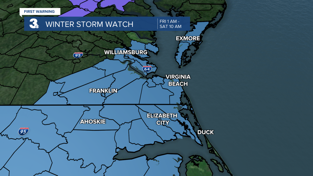
Our attention turns to Thursday, Friday and Saturday...
Rain will move in with a cold front Thursday morning but will change over to snow (from NW to SE) in the afternoon to evening as temperatures fall from the 40s to 30s. Some minor snow accumulation is possible by Thursday night (0” to 1”). Wind will kick up tomorrow, W/N at 10 to 20 mph.
A bigger chance for snow is expected Friday and Saturday as an area of low pressure slides up the coast. Most of the area will see snow with rain for the Outer Banks. The biggest chances will be Friday PM to Saturday AM. Significant snow accumulation is possible (5” to 10”).
Our models still differ, which is why we're kind of splitting it down the center with at least 5+ inches possible Friday into Saturday. The exception though will be the OBX.

Highs will only reach the low 30s on Friday and mid 30s on Saturday. It will be windy with north winds at 10 to 20 and gusts to 30 mph.
Sunday will be the pick of the weekend, even though it will be cold! Expect highs in the mid 30s under mostly sunny skies.
Meteorologist April Loveland
For weather updates on Facebook: HERE
Follow me on Twitter: HERE
Follow me on Instagram HERE
Check out the Interactive Radar on WTKR.com: Interactive Radar
