


Meteorologist April Loveland's First Warning Forecast
A coastal low will move in late tonight into Monday. This storm system will bring high winds, coastal and tidal flooding, along with ocean overwash along portions of NC 12 and beachfront properties. Heavy rain will be possibly along the coast, especially in northeast North Carolina. Skies will be overcast for the entire area. Showers will develop this afternoon along the Outer Banks and then later tonight across Hampton Roads. Most of the north and northwest will stay dry and windy. Temperatures will warm to the upper 50s to near 60. More rain and wind will move in overnight. The heaviest of the rain should remain offshore. Don't forget to turn your clocks back one hour before you head to bed tonight! Daylight Saving Time ends Sunday at 2 AM.
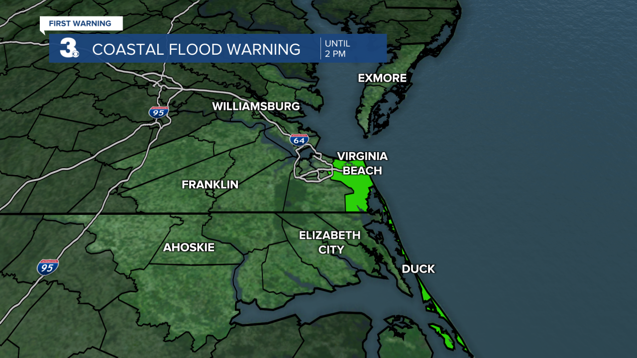
The following weather warnings and advisories are in effect:
Coastal Flood Advisory: Shallow flooding is expected in locations near the waterfront and shoreline.

Coastal Flood Warning: Widespread flooding of vulnerable areas possible.
Wind Advisory: North Winds 30-35 mph, with gusts up to 50 mph possible.

High Wind Warning: Northeast winds 25-45 mph with gusts up to 60 mph expected.

Another issue will be tidal flooding. Minor tidal flooding will be possible at times of high tide. High tide at Sewells Point is at 11 AM and 11 PM today. If you live in an area prone to tidal flooding, make sure you take the proper precautions to protect your property.

Rain and wind will continue on Sunday as the area of low pressure pulls away from the coast. Drier air will move in overnight, but the windy conditions will stick around.
Sunshine will break out on Monday with highs in the low 60s. Winds will be out of the north at 15-20 mph, with higher gusts.
The wind will subside on Tuesday with highs in the upper 60s under lots of sunshine.
Partly cloudy and milder on both Wednesday and Thursday with highs in the upper 60s to near 70.
Scattered showers will be possible to end the work week with highs in the low 70s.
Meteorologist April Loveland
For weather updates on Facebook: HERE
Follow me on Twitter: HERE
Follow me on Instagram HERE
Check out the Interactive Radar on WTKR.com: Interactive Radar
