


Meteorologist Kristy Steward's First Warning Forecast
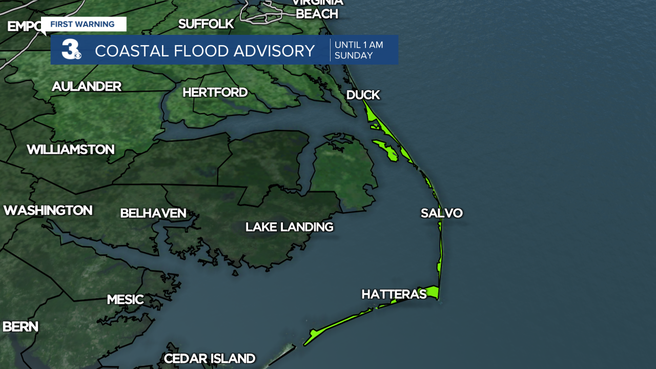
**Coastal Flood Advisory until 1 AM Sunday for the Outer Banks. 1-2' inundation, locally up to 3' inundation. Expect roads to be closed from flooding.**
**Wind Advisory until 1 AM Sunday for the Eastern Shore. 25-35 MPH northwest winds with gusts up to 50 MPH**

Good Saturday night! It's been a wild weather day going from severe thunderstorms to snow in the matter of a couple hours. Winds are still blowing strong and temperatures are still dropping. Warmer weather will return soon enough though.
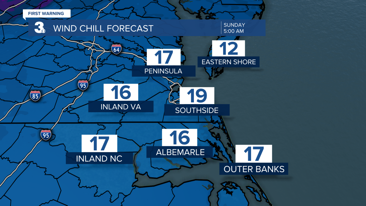
Clouds clear out earlier tonight. Winds will remain strong, gusting to 40 MPH. Temperatures drop down to the mid 20s, feeling like the teens when you wake up Sunday morning. A few slick spots can't be ruled out on roadways overnight into Sunday with the ground temperature still dropping.
Sunday will be breezy with 10-20 MPH west-southwest winds. Despite plenty of sunshine Sunday, highs will only warm into the mid to upper 40s, feeling like the upper 30s.
High pressure keeps us dry and helps temperatures warm for the start of the workweek. A mix of sun and clouds and highs around 60° Monday rising to the mid to upper 60s Tuesday. Mid-week, a low pressure system will ride along the coast, just offshore. Exactly how far offshore it tracks and how strong this low is will determine our weather for Wednesday and Thursday. Right now, it looks like isolated showers Wednesday and scattered rain showers Thursday. Both days high temperatures will be in the low 60s.
Behind that system, temperatures rise to 70° Friday into the weekend. It looks to be a bit of a breezy start to the weekend, but mostly dry and partly cloudy.
Connect with Meteorologist Kristy Steward:
FACEBOOK
TWITTER
INSTAGRAM
