


Meteorologist Kristy Steward's First Warning Forecast
Happy Saturday evening! After a soggy morning, we dried out this afternoon and clouds cleared out this evening. That makes fog a concern tonight into Sunday. Don’t put the rain gear away yet, we have several rainy days ahead next week.
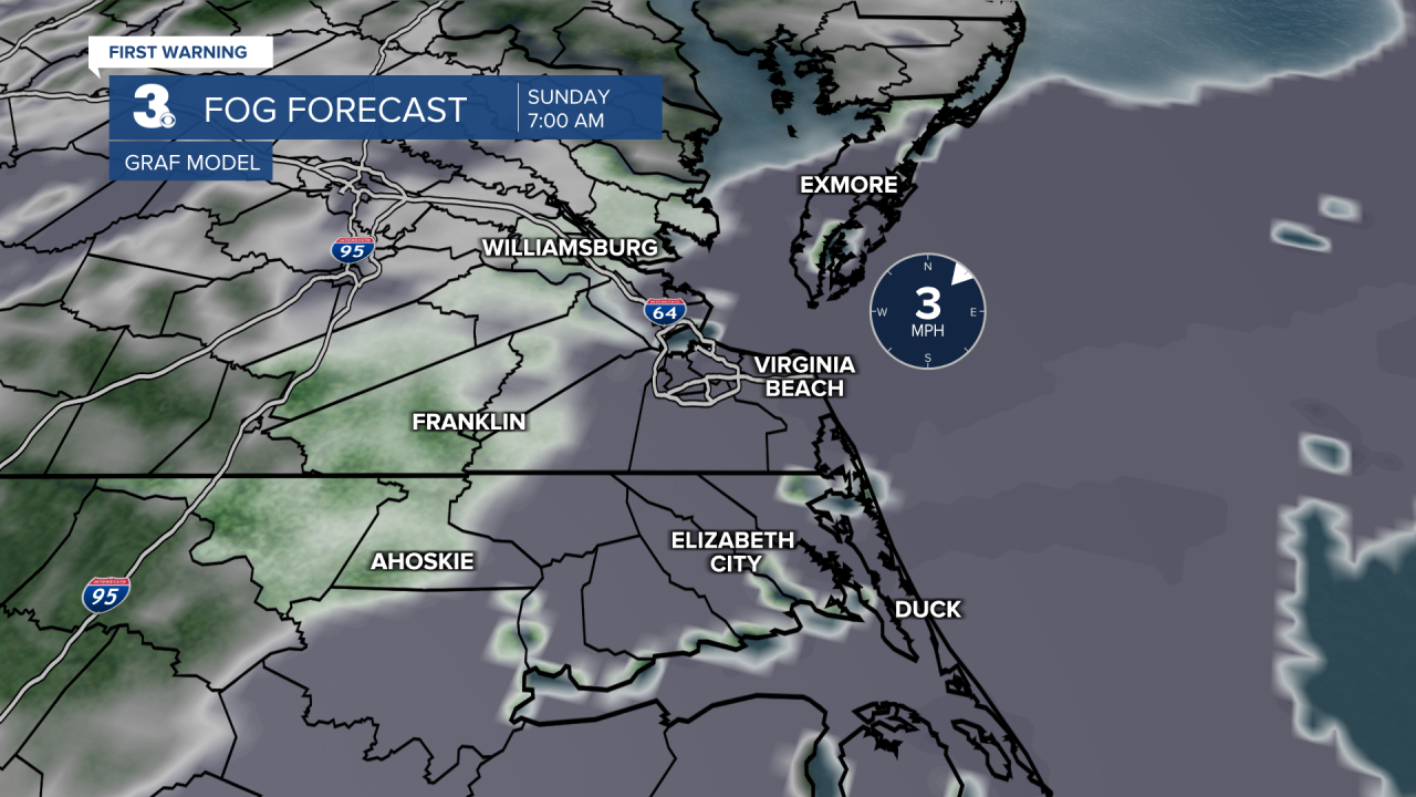
Tonight, temperatures drop into the upper 40s. That’s where our dew points also drop to and we’ll have light winds with a partly cloudy sky. These are the perfect ingredients for fog to form. Dense patchy fog will form along the coastline where 1.5”-1.75” of rain fell earlier. Inland could see lighter patchy fog tonight into Sunday morning.
Sunday stays dry. Expect more clouds than sunshine and high temperatures in the low to mid 60s.
High temperatures stay in the low to mid 60s almost all week. Friday is the exception when high temperatures dip into the upper 50s.

Monday, Wednesday into Thursday, and Saturday are our rainy days next week. Those are also going to be our windy days of the week. So, rain jackets are the better option to include in your wardrobe those days. With so many rainy days ahead, we’ll also have to watch out for flooding concerns. Tuesday and Friday will be our two dry breaks of the week.
Connect with Meteorologist Kristy Steward:
FACEBOOK
TWITTER
INSTAGRAM
