


Meteorologist April Loveland's First Warning Forecast
Much cooler and wetter for the rest of the week. Grab the rain gear!
Partly cloudy skies today, but it will be much cooler. Highs will only warm to the low 50s which is below normal for this time of year and almost 30 degrees colder than Monday!
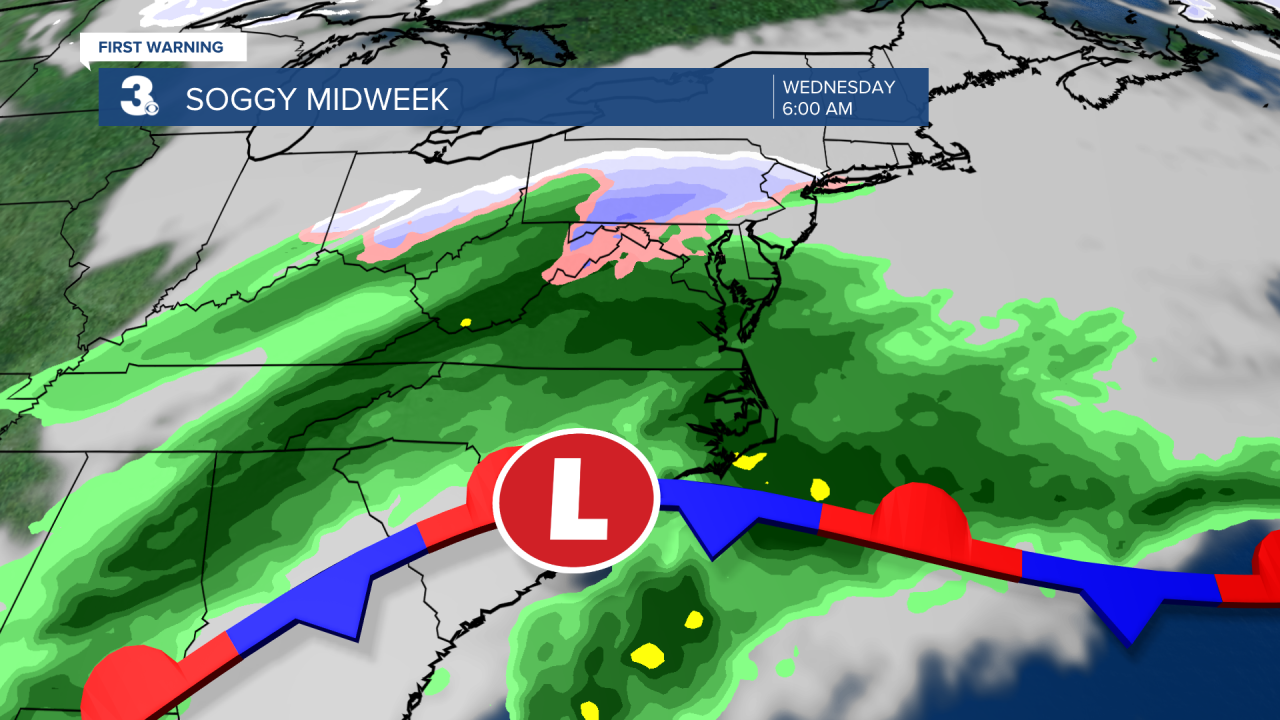
An area of low pressure will move along a stalled front on Wednesday bringing more rain to the area. It will be a soggy start to the day with highs in the low 50s. We'll switch over to scattered showers by the afternoon.
A few showers will be possible on Thursday, mainly for North Carolina.
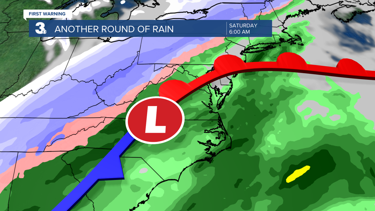
Another cold front will move in to end the work week. Expect scattered showers Friday night and wind and rain on Saturday. Temperatures will warm to the 60s on Saturday and then fall into the 40s behind the cold front on Sunday. We'll finally see sunshine break out on Sunday.
Don't forget to turn your clocks forward one hour before you head to bed on Saturday!

Meteorologist April Loveland
For weather updates on Facebook: HERE
Follow me on Twitter: HERE
Follow me on Instagram HERE
Check out the Interactive Radar on WTKR.com: Interactive Radar
