


Meteorologist April Loveland's First Warning Forecast
The calm before the storm...Dry and cold today with highs in the mid 30s with increasing clouds as the day progresses. Wind chills will be in the 20s. Dry and cloudy overnight with lows in the upper 20s.
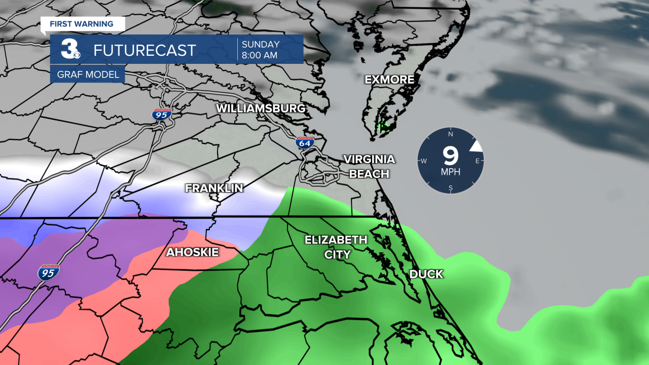
A storm system will move across the area on Sunday. We will start to see a rain/snow mix by 7 AM in our southwest communities in North Carolina. Rain will be likely over most of the area by noontime. Up to 2 inches of rain is possible with this system. Expect highs in the upper 40s to near 50. The other concern on Sunday is the wind. 20-30 MPH sustained ENE winds could gust up to 45 MPH. That will bring a very rough surf with waves up to 12 feet in the Atlantic. It will also bring us tidal flooding, especially Sunday night. Nuisance flooding is expected Sunday morning. Minor flooding Sunday night around 9 PM. We'll start to dry out overnight Sunday. Temperatures will dip into the mid 30s.
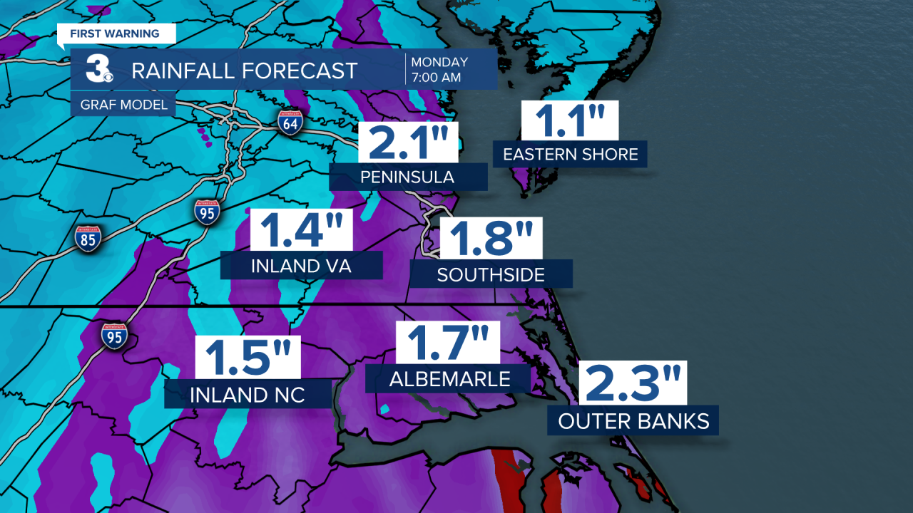

A little snow or wintry mix will be possible very early Monday as the system pulls away. Not looking at anything major and most areas will stay dry. The best chance will be across the peninsulas and Eastern Shore. Temperatures will warm to the mid 40s. It will still be windy.
High pressure will build in on Tuesday. Expect wall-to-wall sunshine with highs in the mid 40s.
Skies will turn partly cloudy on Wednesday with highs in the low 50s. A cold front will move in late Wednesday night and Thursday. Keeping a chance for a rain/snow mix on Thursday. Temperatures will warm to the mid 40s.
Meteorologist April Loveland
For weather updates on Facebook: HERE
Follow me on Twitter: HERE
Follow me on Instagram HERE
Check out the Interactive Radar on WTKR.com: Interactive Radar
