

Meteorologist Kristy Steward's First Warning Forecast
Saturday was very warm and muggy with scattered storms and heavy downpours most of the day. The stalled boundary that was set to die out as it came back onshore took a little longer than anticipated to dissipate, so that lead to more rain than expected today. Some areas saw minor flooding with over 2" rain. Quickly after the sun went down, the rain came to an end.
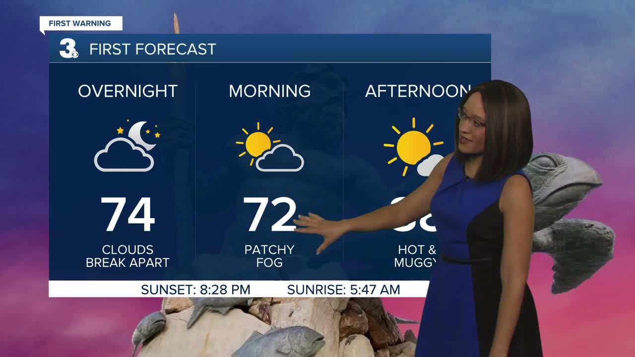
Tonight clouds break apart enough that we could see fog forming late tonight into early Sunday morning. Saturday night stays warm and muggy with lows dropping to the low 70s.
Sunday will be a much better day for outdoor activities. Everyone should stay dry, but a couple of stray PM pop-up showers can't be completely ruled out. Tomorrow will be hotter with highs a handful of degrees warmer in the upper 80s.
We stay mostly dry the first half of the next workweek. Again, a couple of stray PM showers can't be ruled out Monday or Tuesday, but most of us will stay completely dry. A mix of sun and clouds with temperatures creeping up to 90°, feeling like the mid to upper 90s as high humidity remains.
Temperatures stay in the low 90s, feeling like the mid to upper 90s the rest of the workweek. Wednesday evening through Saturday evening we move into a more unsettled weather pattern as a cold front to our west slowly approaches and a disturbance builds over the coast ahead of that front. That means scattered thunderstorms return to the forecast, especially each afternoon and evening.
One model has this cold front passing through Saturday night. If it does, our Fourth of July will be pleasant. Dry with low humidity. However, some models have that front getting hung up to our west and not passing through until after the Fourth of July. If that scenario happens, our holiday will be hot and humid with scattered storms in the afternoon and evening hours. It's too early to tell which situation will play out for the holiday, so stay tuned and don't cancel any plans just yet! Cross your fingers the first scenario will play out!
Meteorologist Kristy Steward
