


Meteorologist April Loveland's First Warning Forecast
More sunshine will break out as the day progresses with highs warming back to the mid 70s.
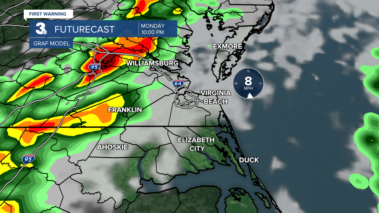
Clouds to start the day Monday with increasing shower and storm chances by lunch time as an area of low pressure moves in. We'll have another batch of showers and storms move in during the evening as a cold front approaches. This will bring the threat of strong to severe storms. The biggest threat will be damaging wind gusts and heavy rain. High temperatures will warm to near 80.


A big temperature drop on Tuesday with highs only in the upper 60s. Scattered showers will be possible for the first half of the day.
Drying out on Wednesday with highs in the low mid and upper 60s under partly cloudy skies.
Another round of rain will move in by Thursday and Friday. Temperatures will warm to the upper 60s to near 70.
Meteorologist April Loveland
For weather updates on Facebook: HERE
Follow me on Twitter: HERE
Follow me on Instagram HERE
Check out the Interactive Radar on WTKR.com: Interactive Radar
