


Meteorologist Kristy Steward's First Warning Forecast
Happy Saturday night and Happy October! We caught a nice lull in Ian’s remnant activity today, but soon we’ll be dealing with Ian’s remnants once again.
Ian’s remnants will get pushed east the next few days, right over Hampton Roads. That means we’ll see more rain, strong winds, and tidal flooding.
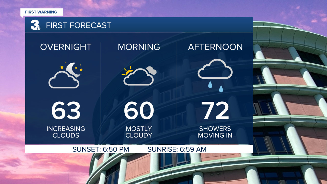
Clouds start to increase tonight. Overnight lows around 60°. Much of Sunday will be cloudy. Showers start to pop back up Sunday afternoon and evening, becoming more scattered Sunday night into Monday. Winds also begin to pick back up. Later in the day Sunday, expect northerly winds to return at 10-20 MPH. Tides Sunday afternoon begin to rise to a nuisance level.
Monday will be the worst day dealing with these remnants. It’s going to be a cool, wet and windy day. Highs around 60° with scattered rain all day and north-northeast winds of 20-30 MPH gusting to 45 MPH. If you drive through a flood-prone area to work, watch for tidal flooding during your commutes. Around 2 feet of inundation at high tide 5 AM Monday. Tidal flooding at high tide Monday afternoon around 4 PM looks to be even worse than Friday’s tidal flooding was. Up to 3 feet of inundation at that time. This means you need to plan to find alternate routes to avoid driving through flood waters and have plans to move to higher ground if you live in a flood-prone area.

Tuesday stays windy, but won’t be quite as wet. Still some lingering scattered rain activity, especially along the coast and in the morning hours. Temperatures stay cool in the low 60s and we stay mostly cloudy.
The surf will be very rough both Monday and Tuesday. Expect 7-10 feet breaking waves in the Atlantic. Plan to stay out of the water those days.
The second half of the week is looking much nicer. Dry with a lot more sunshine from Wednesday on and warmer temperatures in the low to mid 70s the rest of the workweek.
A dry cold front Friday will only bring cooler air for Saturday. Highs go from the mid 70s to the mid 60s for the weekend.
Connect with Meteorologist Kristy Steward:
FACEBOOK
TWITTER
INSTAGRAM
