


Meteorologist April Loveland's First Warning Forecast
Temperatures will trend warmer today with highs in the upper 80s. Temperatures will feel closer to the low and mid 90s. Keeping a slight chance for a couple afternoon showers and storms, but not expecting a washout. If you're heading to the beach, there is a moderate risk of rip currents, so exercise caution! Hurricane Henri should make landfall in southern New England or Long Island this morning or early this afternoon.
Hot and humid weather will be the story for the work week. Temperatures will soar to the upper 80s, but it will feel closer to the mid 90s. An afternoon isolated shower or storm will be possible.
The 90s will prevail Tuesday through Friday. Rain chances will remain around 20 to 25 percent for a spotty storm. Otherwise expect partly to mostly sunny skies. Heat index values will be near 100 degrees.
Tropical Update:
Tropical Storm Henri
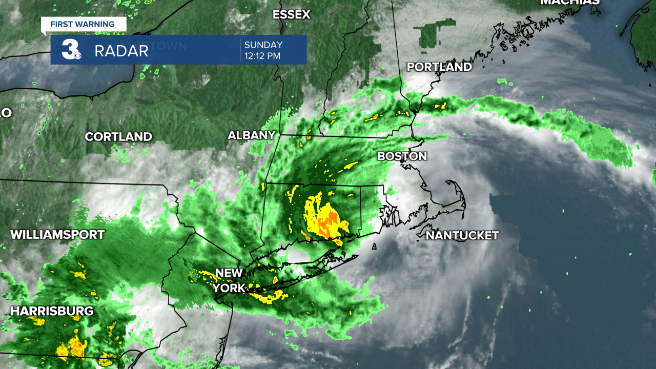
Center of Henri passing close to Block Island as the storm heads for southern New England.
Located about 15 miles E of Montauk Point, New York and 50 miles SSW of Providence, Rhode Island.
Henri is moving toward the north-northwest near 12 mph. A north-northwestward motion with a decrease in forward speed is expected for the next few hours, followed by a turn toward the northwest this afternoon.
The center of Henri is currently passing near Block Island and on the forecast track the center is expected to make landfall in Rhode Island by early afternoon. Henri is forecast to slow down and possibly stall near the Connecticut-New York border tonight, followed by an east-northeastward motion across northern Connecticut and southern Massachusetts on Monday.
Maximum sustained winds have decreased to near 60 mph with higher gusts. Little change in strength is expected until landfall occurs, followed by rapid weakening after Henri moves inland over southern New England.
Tropical-storm-force winds extend outward up to 125 miles from the center.

Meteorologist April Loveland
For weather updates on Facebook: HERE
Follow me on Twitter: HERE
Follow me on Instagram HERE
Check out the Interactive Radar on WTKR.com: Interactive Radar
