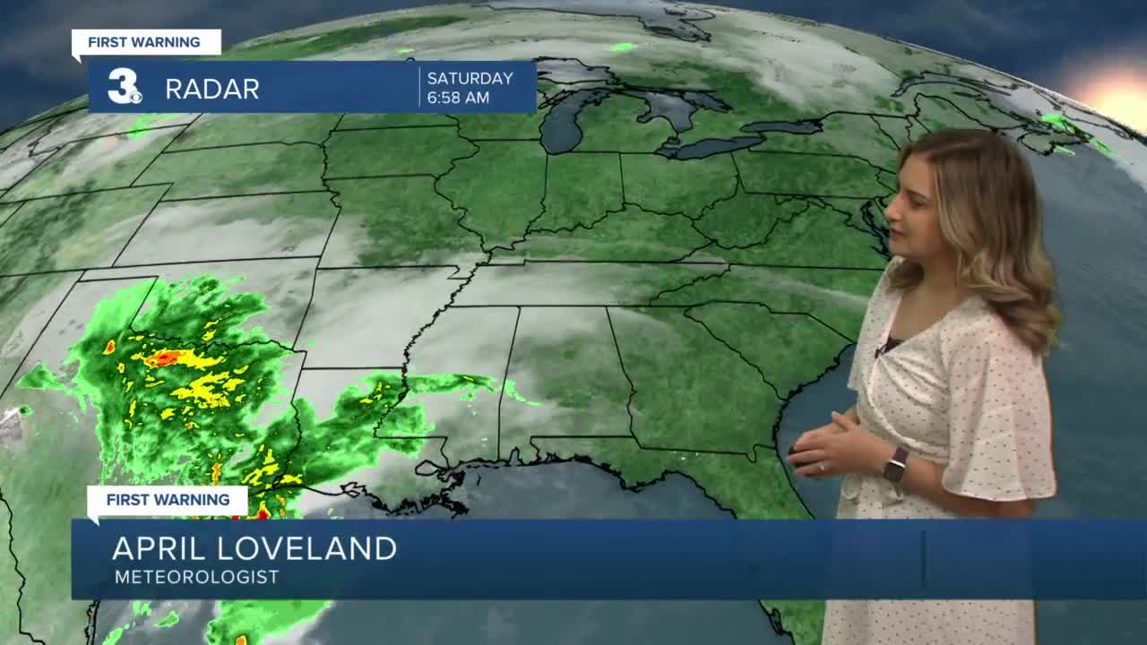


Meteorologist April Loveland's First Warning Forecast
A 50/50 weekend on tap with sunshine today. Rain, wind and storms will move in on Sunday.
High pressure will keep us nice, sunny and dry today. Temperatures will warm to near-normal with highs in the upper 50s to near 60.
A storm system will move in on Sunday with rain and possible storms developing after sunrise. Showers and storms will be possible through the evening hours. It will be mild with highs soaring the upper 60s to near 70. It will also be windy with winds out of the south at 15-25 mph, with gusts up to 35 mph possible.

Drying out just in time to start the work week. Expect mostly sunny skies, breezy conditions and highs in the low 60s.
Tuesday will be a bit cooler with highs in the upper 50s under partly cloudy skies.
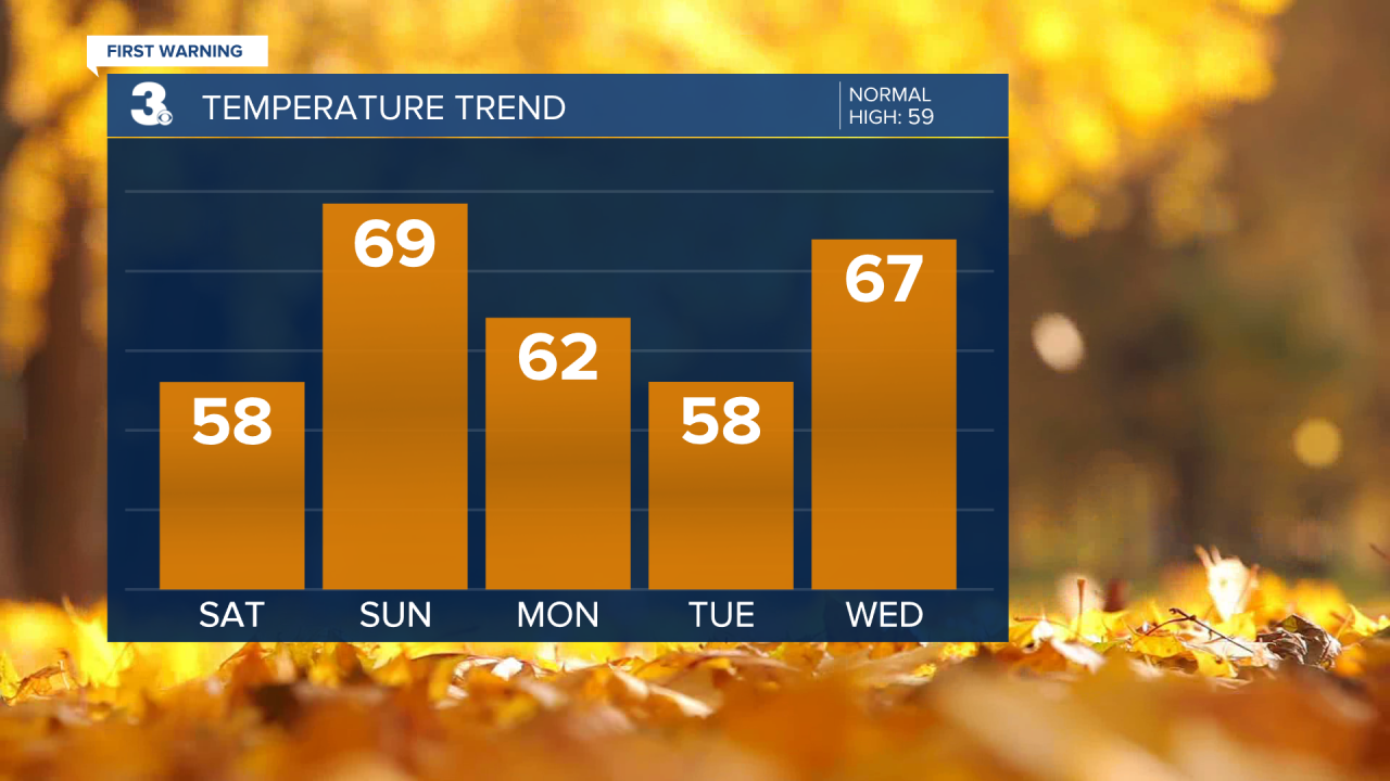
A cold front will approach on Wednesday with wind and rain. Temperatures will warm to the mid 60s.

Much cooler behind the front to kick off the month of December. It will be partly cloudy and breezy with highs in the low 50s.
The dry weather will continue on Friday with highs in the mid 50s.
Meteorologist April Loveland
For weather updates on Facebook: HERE
Follow me on Twitter: HERE
Follow me on Instagram HERE
Check out the Interactive Radar on WTKR.com: Interactive Radar
