


Meteorologist Kristy Steward's First Warning Forecast
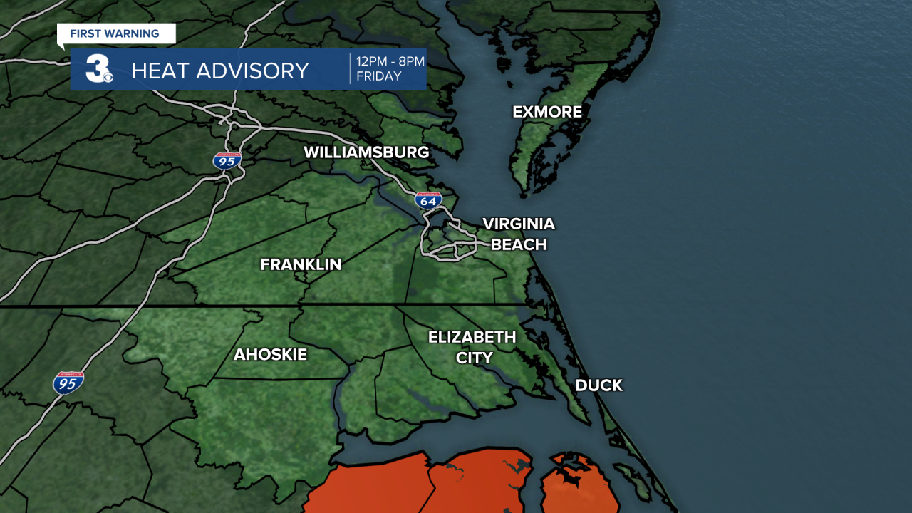
*HEAT ADVISORY for Dare County 12 PM - 8 PM Friday. Heat index values up to 106° possible*
Happy Thursday night! We’re not done with scattered storms just yet. We have a severe threat Friday and we’ll likely see the hottest temperatures of the year so far before those storms arrive. However, our holiday weekend is looking great!
Tonight, just a few showers will pass through surrounding a warm front. Lows in the low to mid 70s overnight and a bit breezy.
Friday will start off dry with lots of sunshine, but temperatures will soar. We’ll likely break most high temperature records for the day and have our hottest day of the year so far. Highs in the upper 90s, feeling like 100-105°.

Remember to drink plenty of water and stay in the cool A/C as much as possible. If you have to be outdoors, seek the shade and wear light-colored, loose-fitting clothes. Don’t forget about your furry friends! Keep their paws off the hot pavement and don’t leave them in the car.

A cold front Friday evening will wipe away this heat, but before it does, we’ll have to deal with another round of storms.
Expect scattered storms 5-11 PM Friday with the main line likely starting to push through around 8 PM. These evening storms could become severe, so we need to stay weather alert. Everyone is under a level 2 out of 5 risk for severe storms. Main threat is damaging wind gusts, but all threats are on the table.


Behind the cold front, Canadian high pressure will work its way into the Mid-Atlantic and bring us a gorgeous Father’s Day weekend! Both Saturday and Sunday will feature plenty of sunshine, low humidity, and high temperatures around 80°. Saturday will be windy with 10-20 MPH winds. Winds will be a little lighter Sunday.
High pressure hangs around Monday, keeping the sunshine and high temperatures in the low 80s for the start of the workweek.
Highs in the 90s return Tuesday and Wednesday. Late Wednesday we could have spotty showers pop-up. There’s a slightly better chance for showers and storms later Thursday.
Connect with Meteorologist Kristy Steward:
