


Meteorologist April Loveland's First Warning Forecast
Scattered showers and chilly temperatures through the end of the work week. 50/50 weekend on tap.

We'll switch over to scattered showers by the afternoon. It will be chilly with highs in the low 50s.
A few showers will be possible on Thursday, mainly for North Carolina. It will be cold with highs struggling to get out of the 40s.
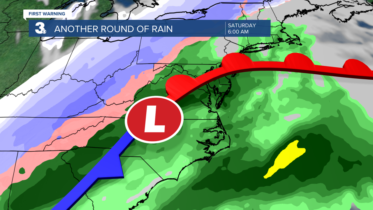
Another cold front will move in to end the work week. Expect scattered showers Friday night and wind and rain on Saturday. Saturday will unfortunately be a bit on the soggy side for any of the St. Patrick's Day festivities. Temperatures will warm to the 60s on Saturday and then fall into the 40s behind the cold front on Sunday.
We'll finally see sunshine break out on Sunday. Don't forget to turn your clocks forward one hour before you head to bed on Saturday! Daylight Saving Time starts on Sunday, March 13th, at 2 AM.

Temperatures will warm up just in time to kick off the work week. Expect highs in the low 60s on Monday under mostly sunny skies and warming to the mid 60s on Tuesday under partly cloudy skies.
Meteorologist April Loveland
For weather updates on Facebook: HERE
Follow me on Twitter: HERE
Follow me on Instagram HERE
Check out the Interactive Radar on WTKR.com: Interactive Radar
